I imagine this happens to most people that have an active lifestyle…last summer when I turned sixty five it was a wake up call of sorts. I started pondering about things I want to do and should do while I could still do them. Who knows how many more truly active years I have left. It could be five, ten, or if I’m really lucky fifteen.
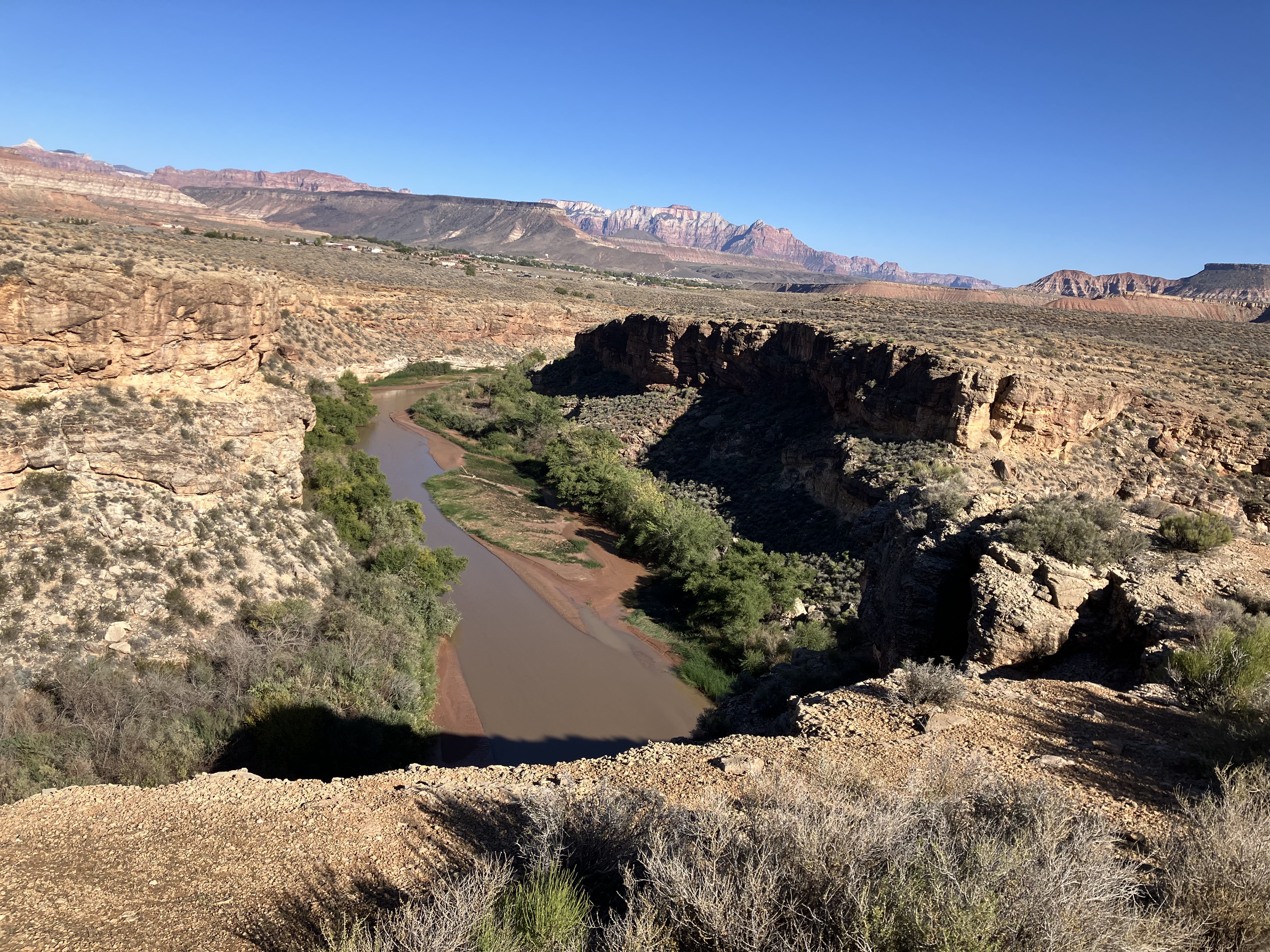
The last two years when we’ve been in Moab we’ve always driven out to either Dead Horse Point State Park and/or Grandview Point in Canyonlands National Park and looked down on the White Rim Trail. From above it is amazing and I always thought to myself it must be really spectacular to be on it. That’s the genesis of this trip.
Last fall I contacted Rim Tours and started a conversation. After much back and forth, and with Amelia’s help when I became frustrated, we finally settled on dates for a three day, two night tour. I’m not a big mingle with strangers guy. I wanted a charter trip with only like minded friends. We put together a list of first round draft choices, sent out an email, and to our surprise everyone quickly responded with firm commitments.
It’s a terrific group of folks, and only Amelia and I knew everyone, well almost everyone. There’s Chris who’s an identical twin of our friend Kathy, we’ve been hearing about her for years and dying to meet her. The other person we didn’t know was Drew, but Patty and Bill from Montana vouched for him. Unfortunately Kathy’s husband Mike was a last minute scratch.
The twelve riders on the trip were Amelia and I, The Noltes (Reno, Nev.), Chris (Connecticut), Kathy ( Grand Junction & Massachusetts, her and Mike are vagabonds), Bill and Drew (Helena, Montana), Ken and Golightly (San Diego), and last but not least Dianni and Tony (Fort Collins, Colorado).
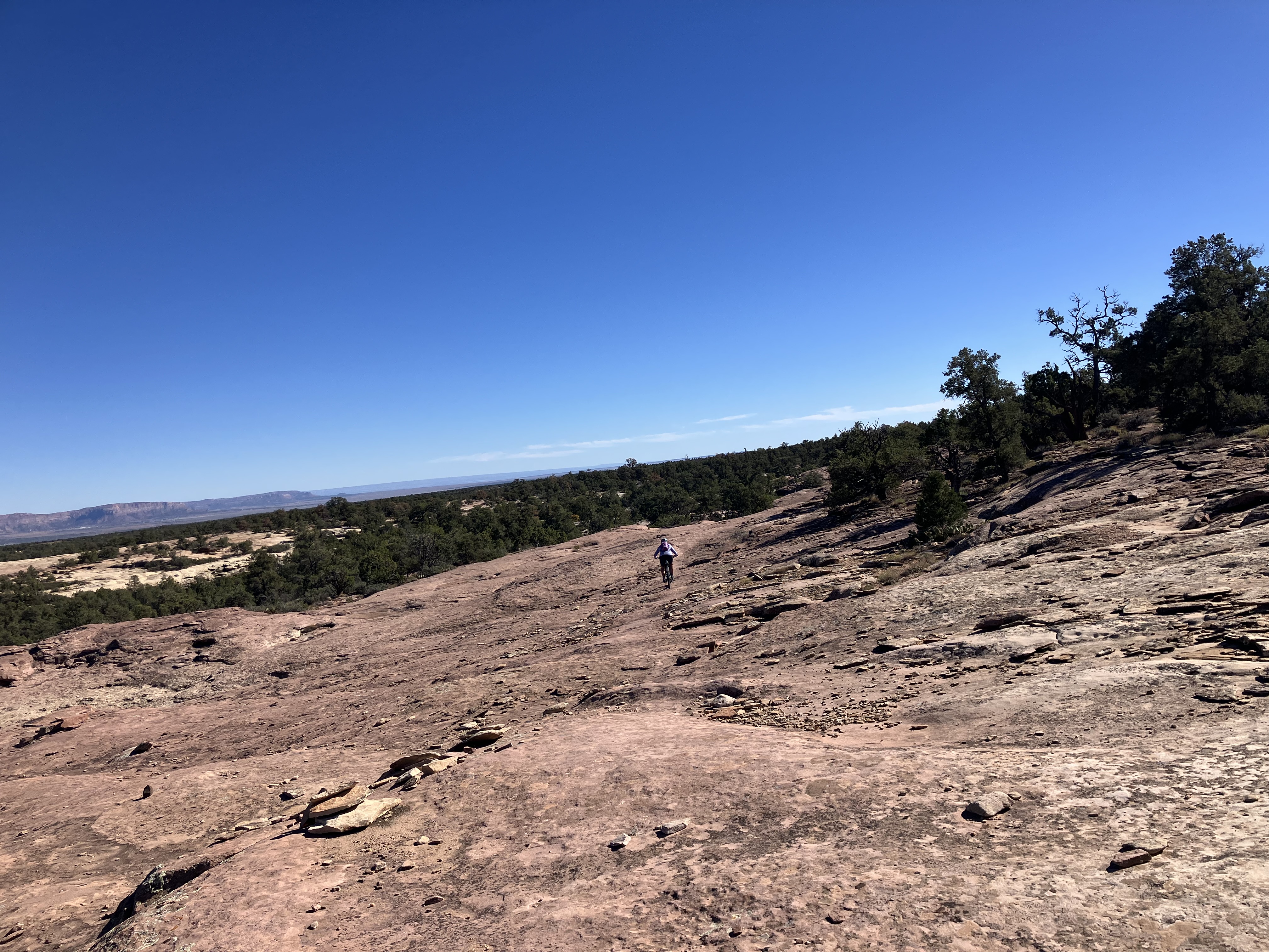
It was a little nippy in the morning on the first day but overall we really lucked out on the weather. Around every bend there was vast jaw dropping scenery that just left us stunned and feeling small in the universe. The other really wonderful thing…no internet. We all had a reprieve from the endless news cycle of the trump era. Kudos to the folks at Rim Tours, especially our guides, Jeff and Bryan. It was a dreamlike perfect tour that will be a life long memory all of us will cherish.
What is the White Rim Trail you ask?
Per the National Park Service, The “White Rim” is officially the White Rim Sandstone, a light-colored rock layer deposited approximately 275 million years ago as wind-blown beach dunes. Because this sandstone is more resistant to erosion than the softer red shale beneath it, it forms a massive, flat “bench” or terrace that rings the Island in the Sky mesa of Canyonlands National Park.
Here’s the crazy thing: the White Rim Road was constructed by the Atomic Energry Commission in the 1950s to provide access for uranium miners during the cold war. It’s a 100 mile unpaved loop, of which we did 82 miles.
Day One Stats
- 28.9 miles
- 1,737 ft elevation gain
- More fun than imaginable
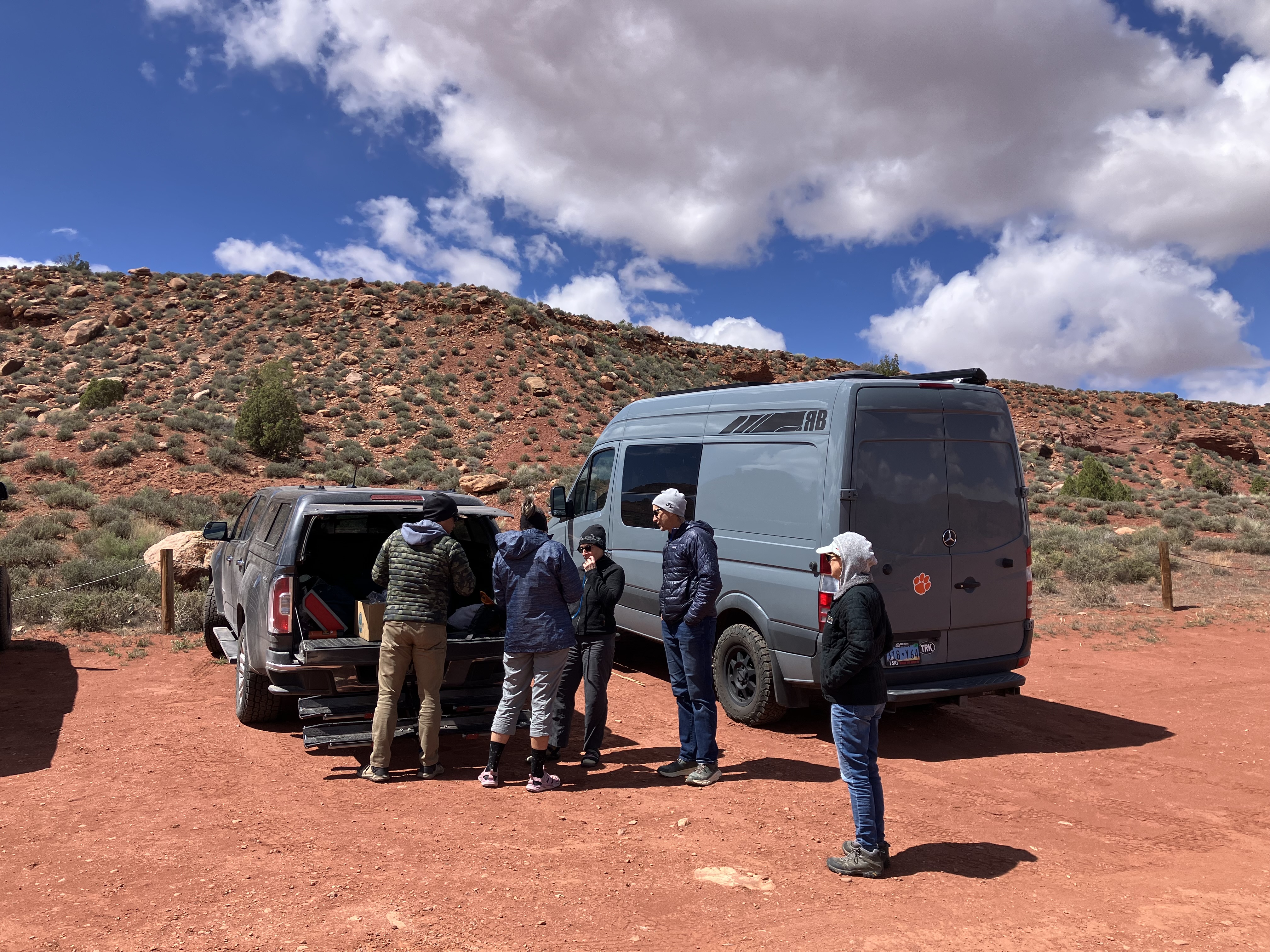
 Friends meeting friends at the Rim Tours office. The day had finally arrived. The air was filled with excitement.
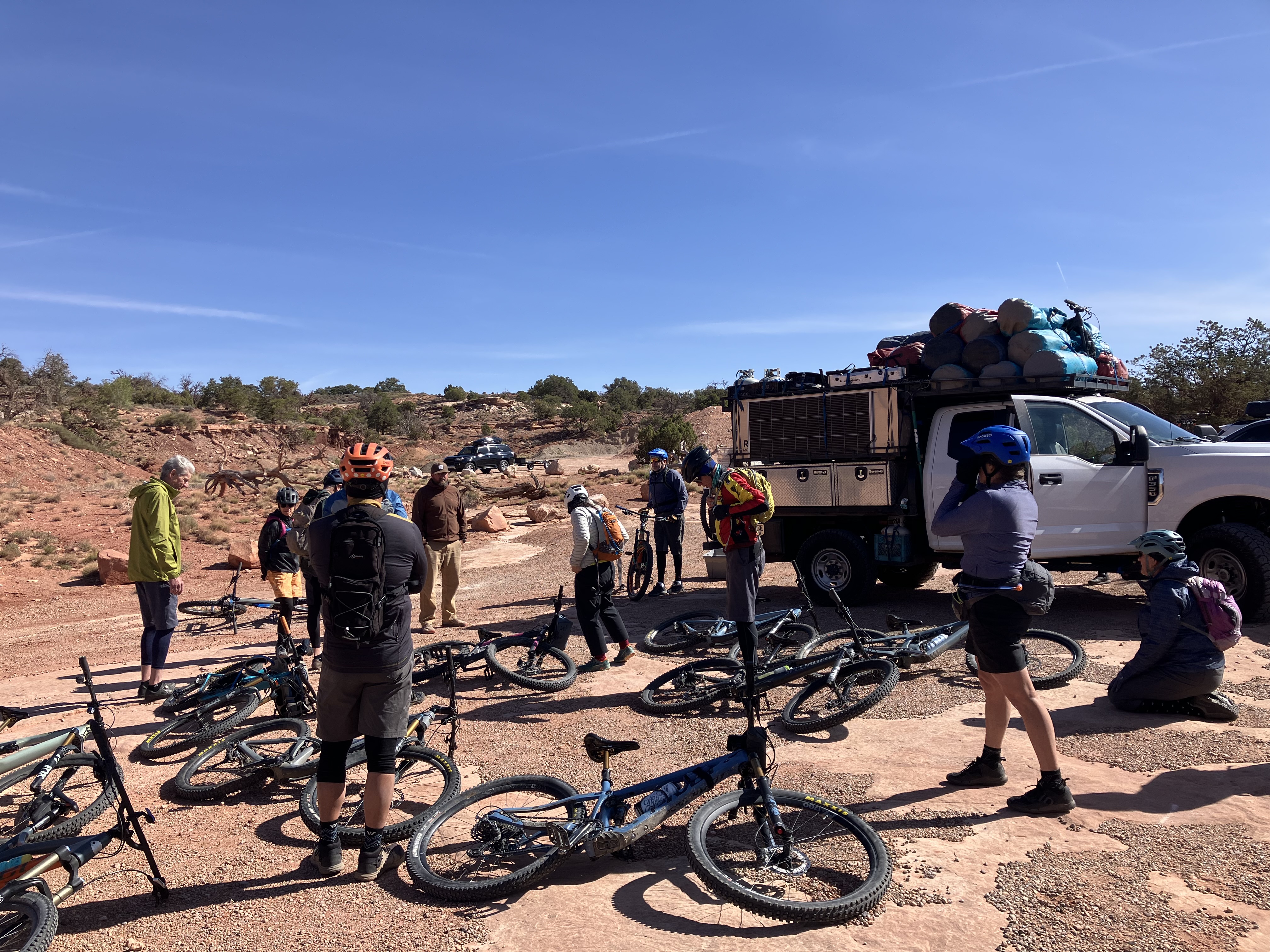 From their office it was nearly an hour drive to the start. By the time we got there we were all chomping at the bit to get going, but first there was a safety talk and a review of the map showing our route.
 Part of the safety talk was a demonstration of the correct way to look over the edge of a cliff: Crawl towards the edge, lay down on your belly and look over as Dianni and Amelia are doing. I said no thanks and never got close to the edge!
 Team photo
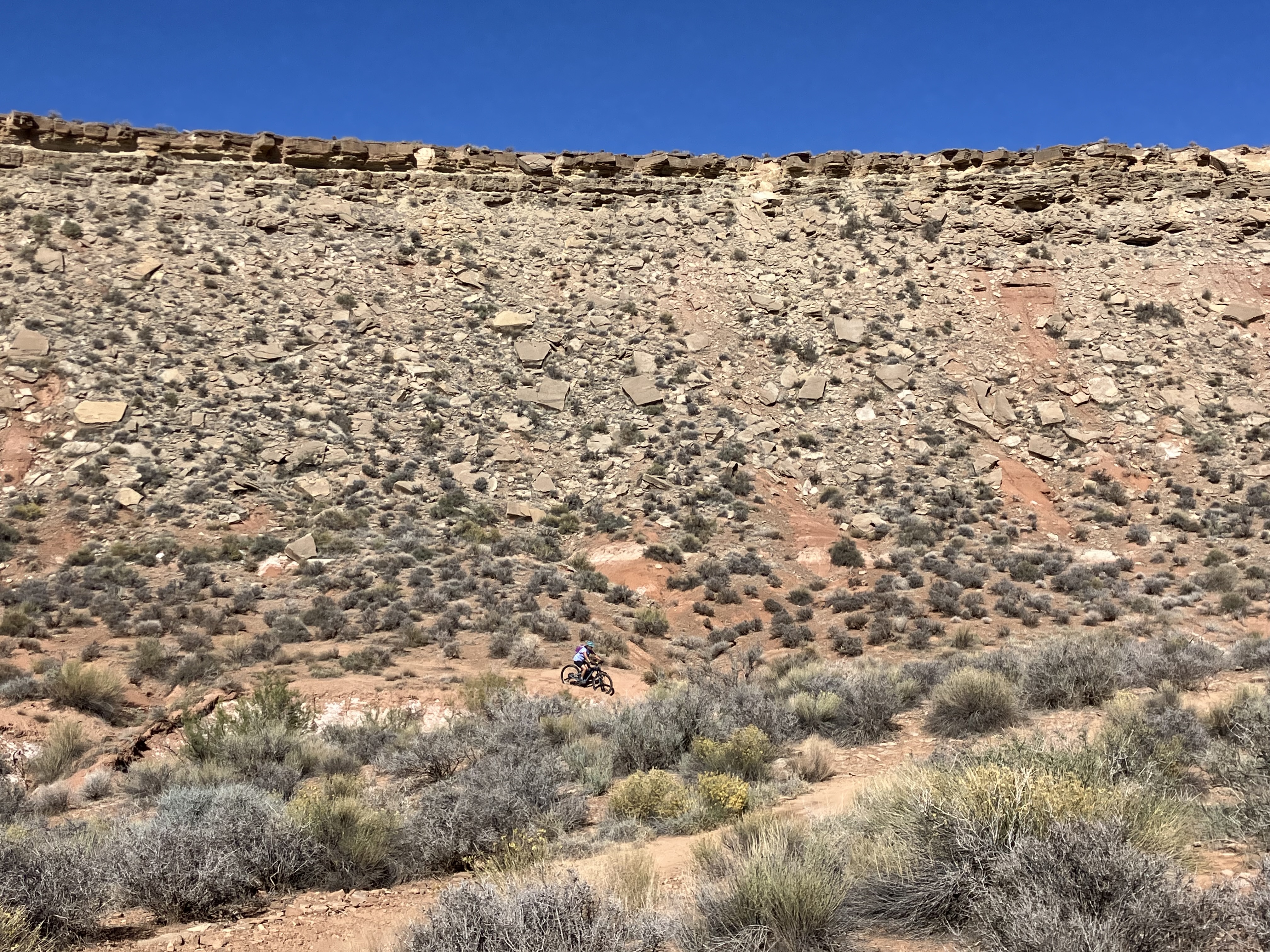
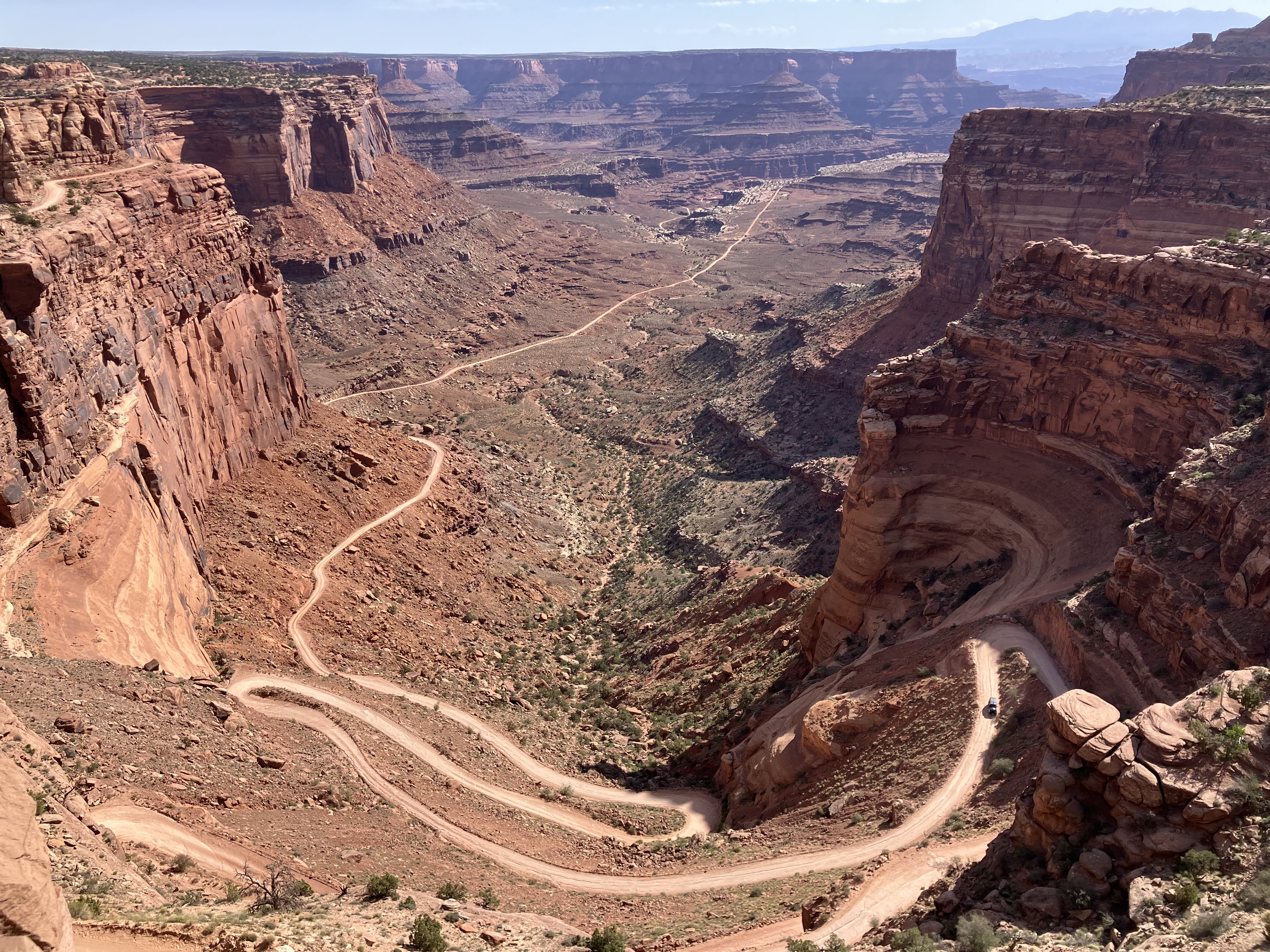 The Shafer Trail, this is what we rode down to start the ride!
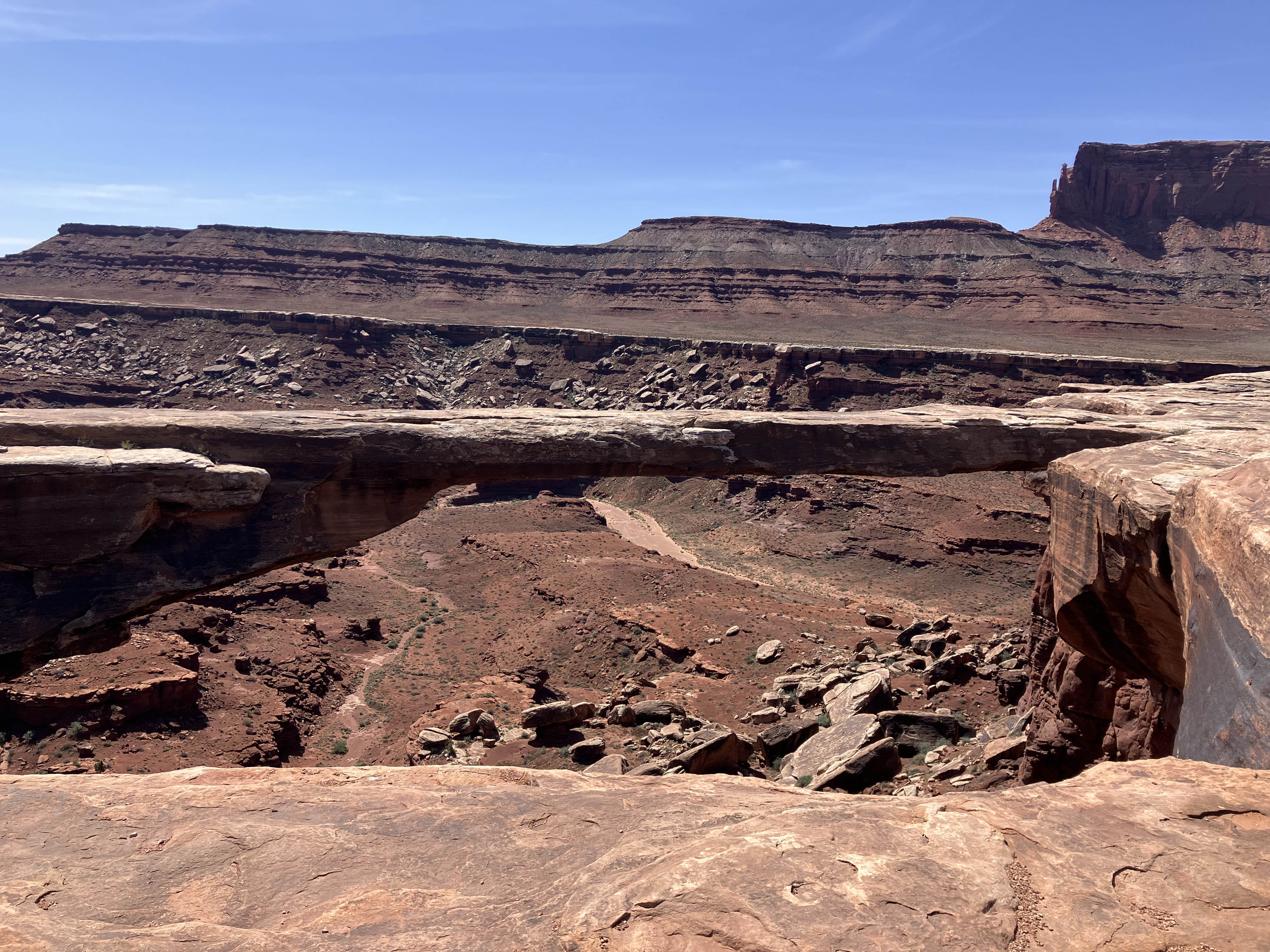 Musselman Arch, some folks call it an arch some a bridge.
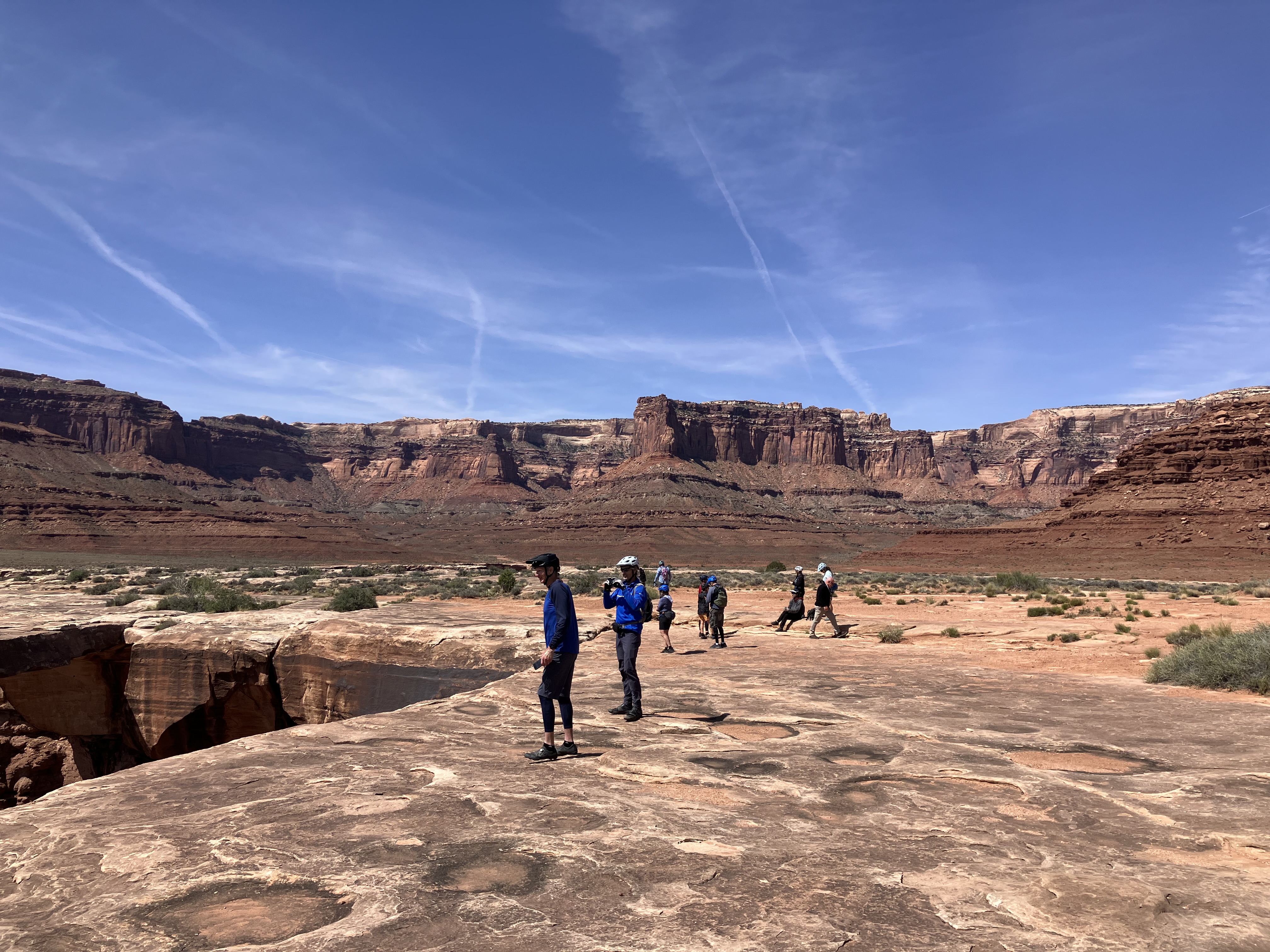 We all oohed and aahed at it for a while. That’s Ken and Golightly in the foreground.
 Here’s a nice team photo perspective shot.
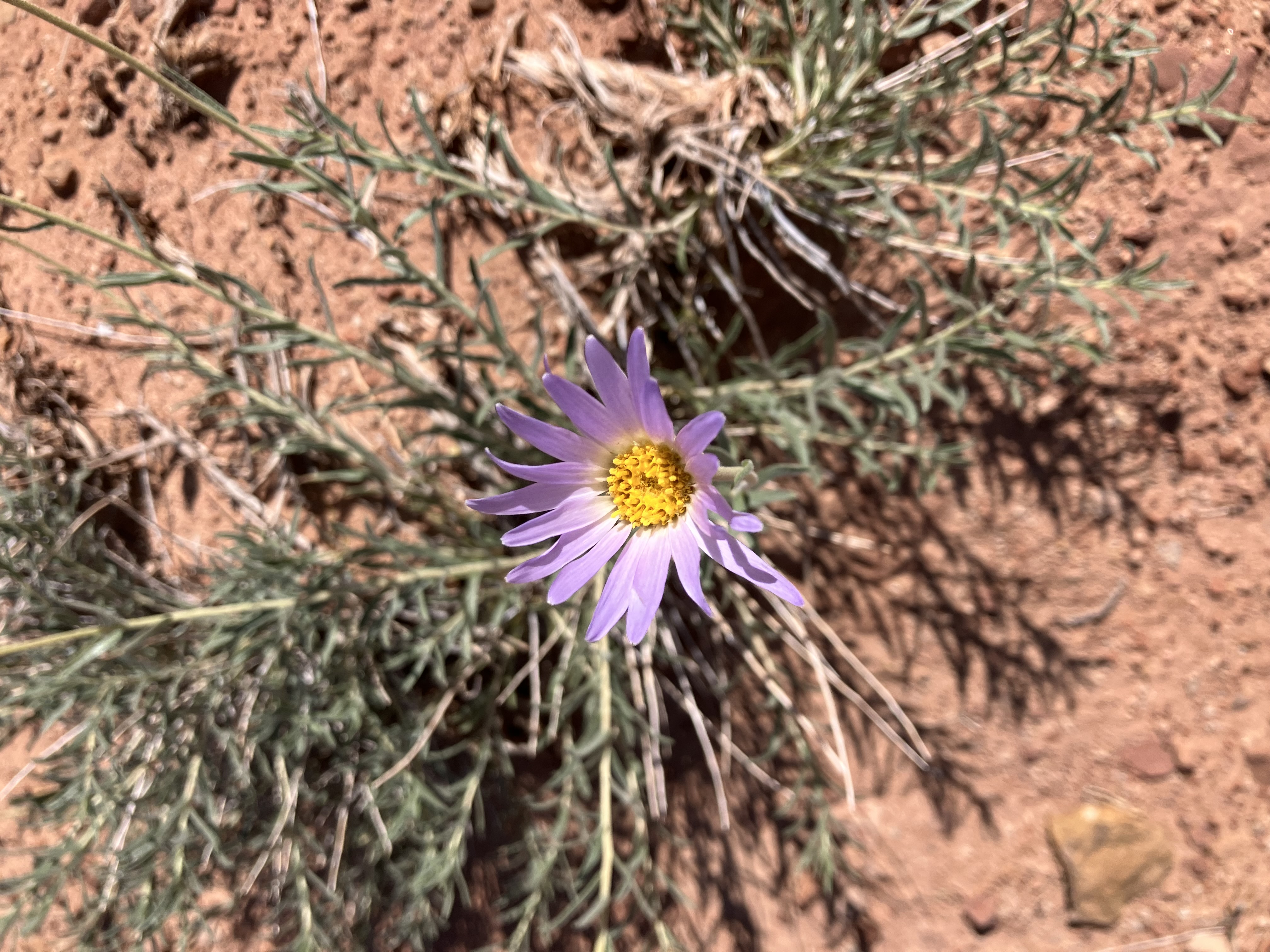 Hoary tansyaster
 Young lovers, well maybe not so young anymore, and other’s body parts. Everyone was digging the warmth of the rock while waiting for lunch.
 Typical lunch spread
 Lunch with a view
 A happy Greg Harris
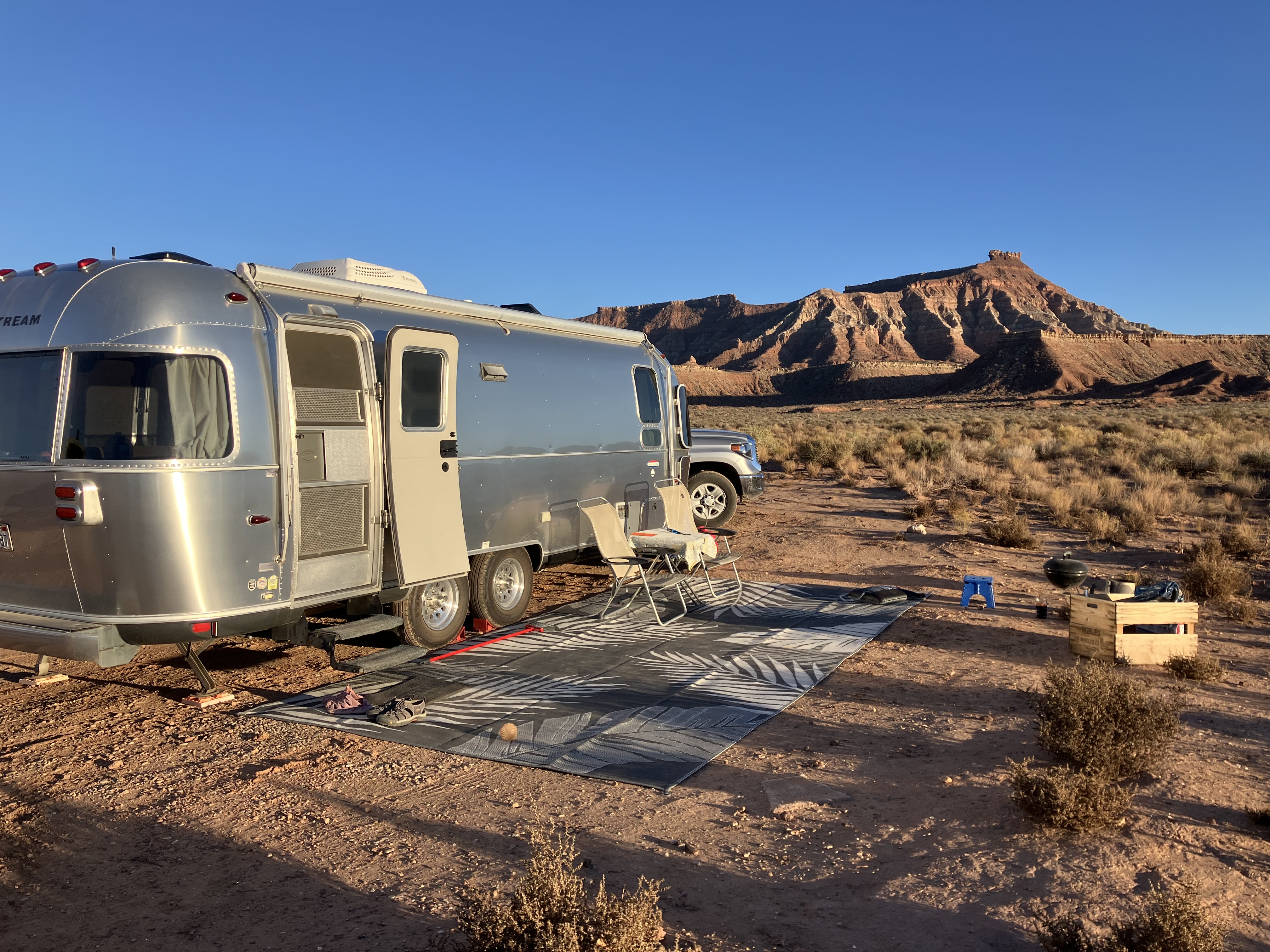
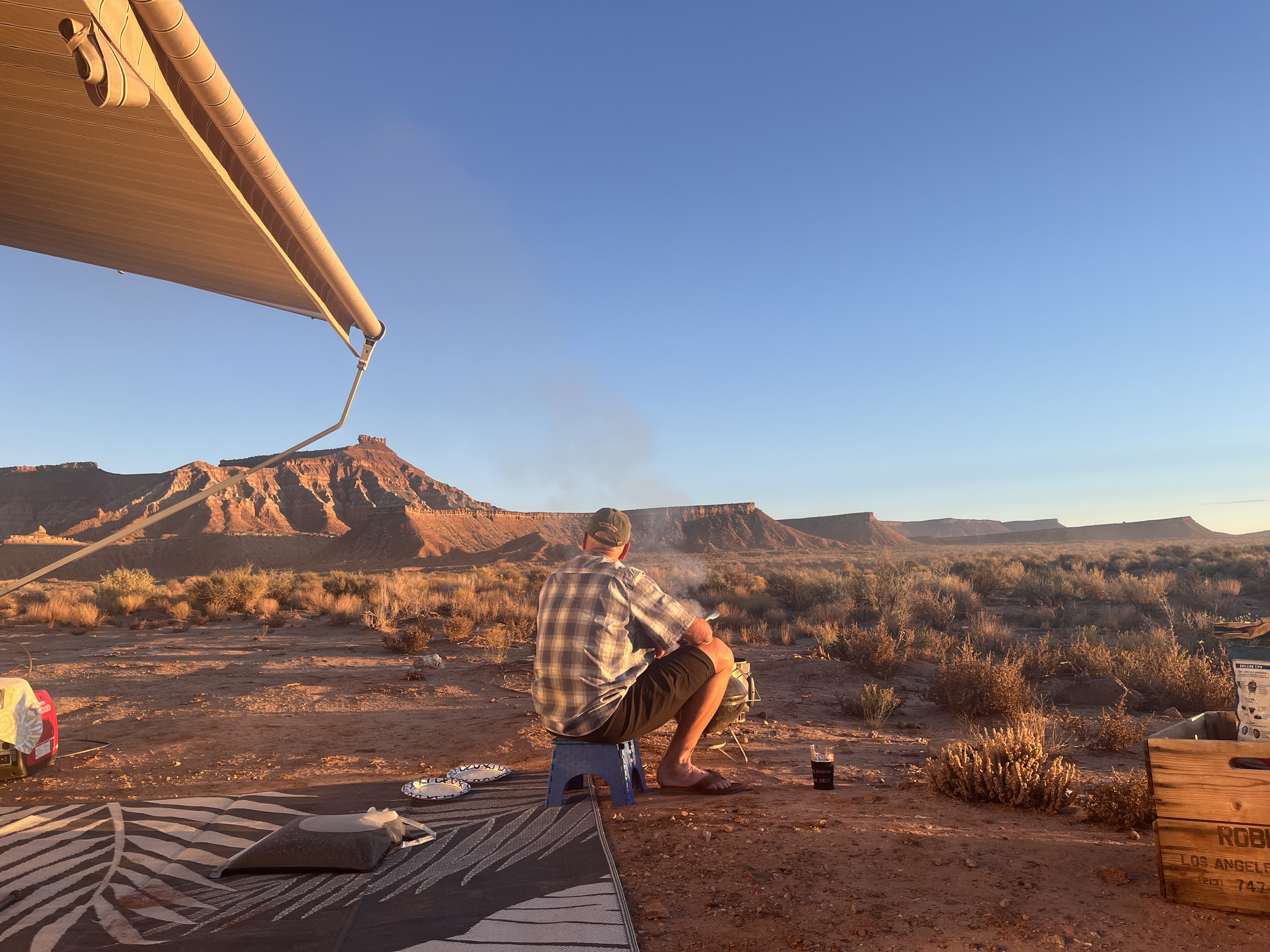
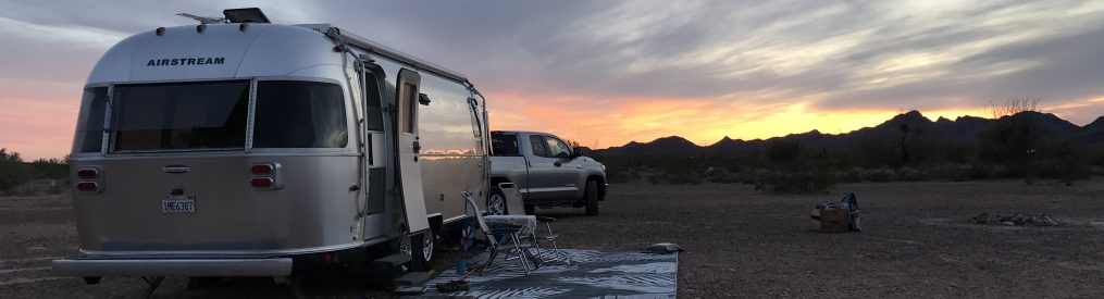
 Kathy with Mr. & Mrs. Fancy Pants that own an Airstream wrestling with the tent set up.
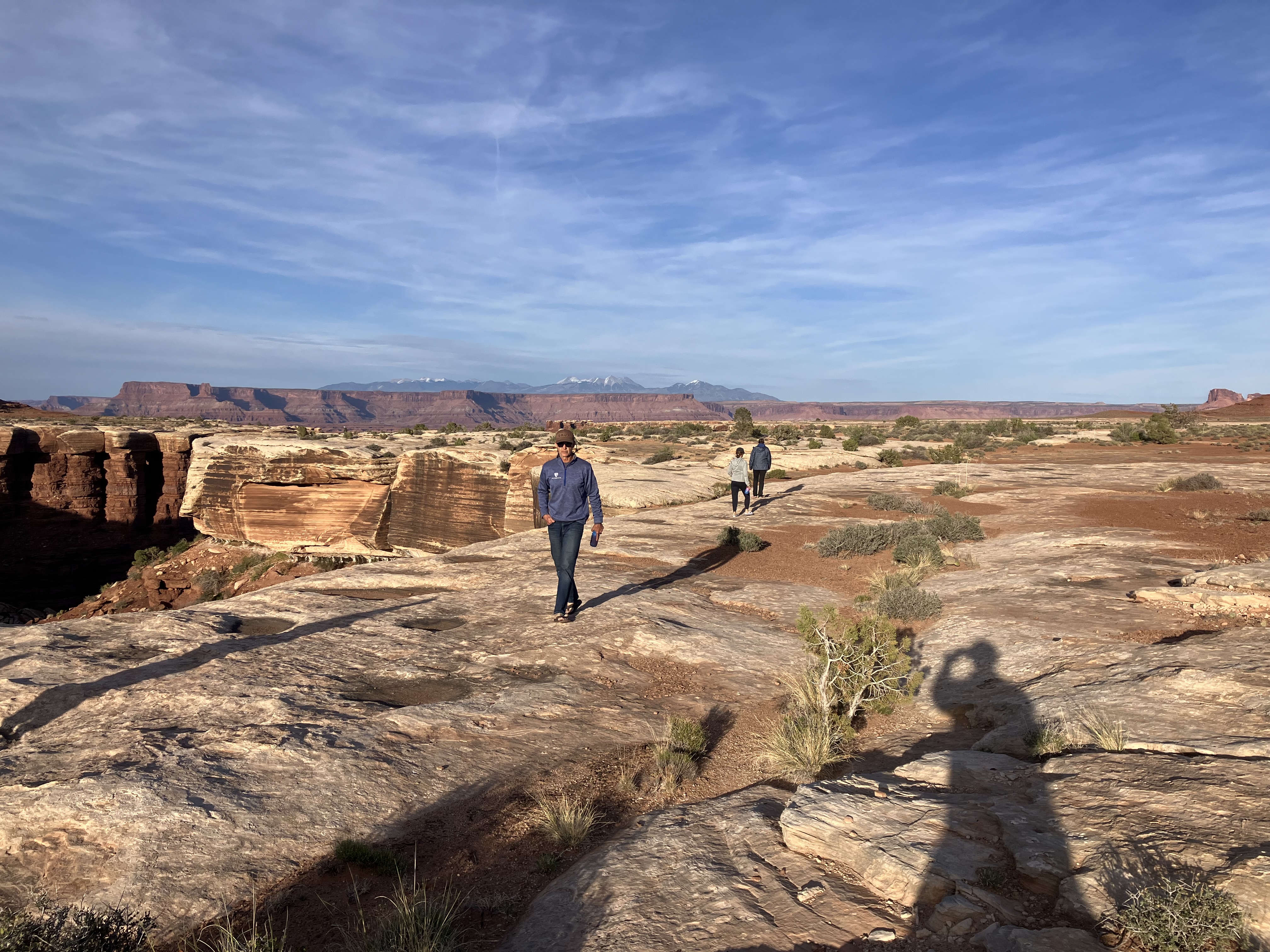 The evening light was beautiful. That’s Nolte walking towards the camera and Amelia and Mare walking away.
 The little small human specs are Chris and Amelia!
 Gooseberry campsite
 Golightly brought his guitar and harmonica. He even prepared a song book for everyone with lyrics. It was pretty cool hanging out and singing. Ken and Chris are in the pic.
Stay tuned for day two! I’ve got some great pictures and stories to tell.