Iceland: July 20-26, 2026

The start of an epic adventure.

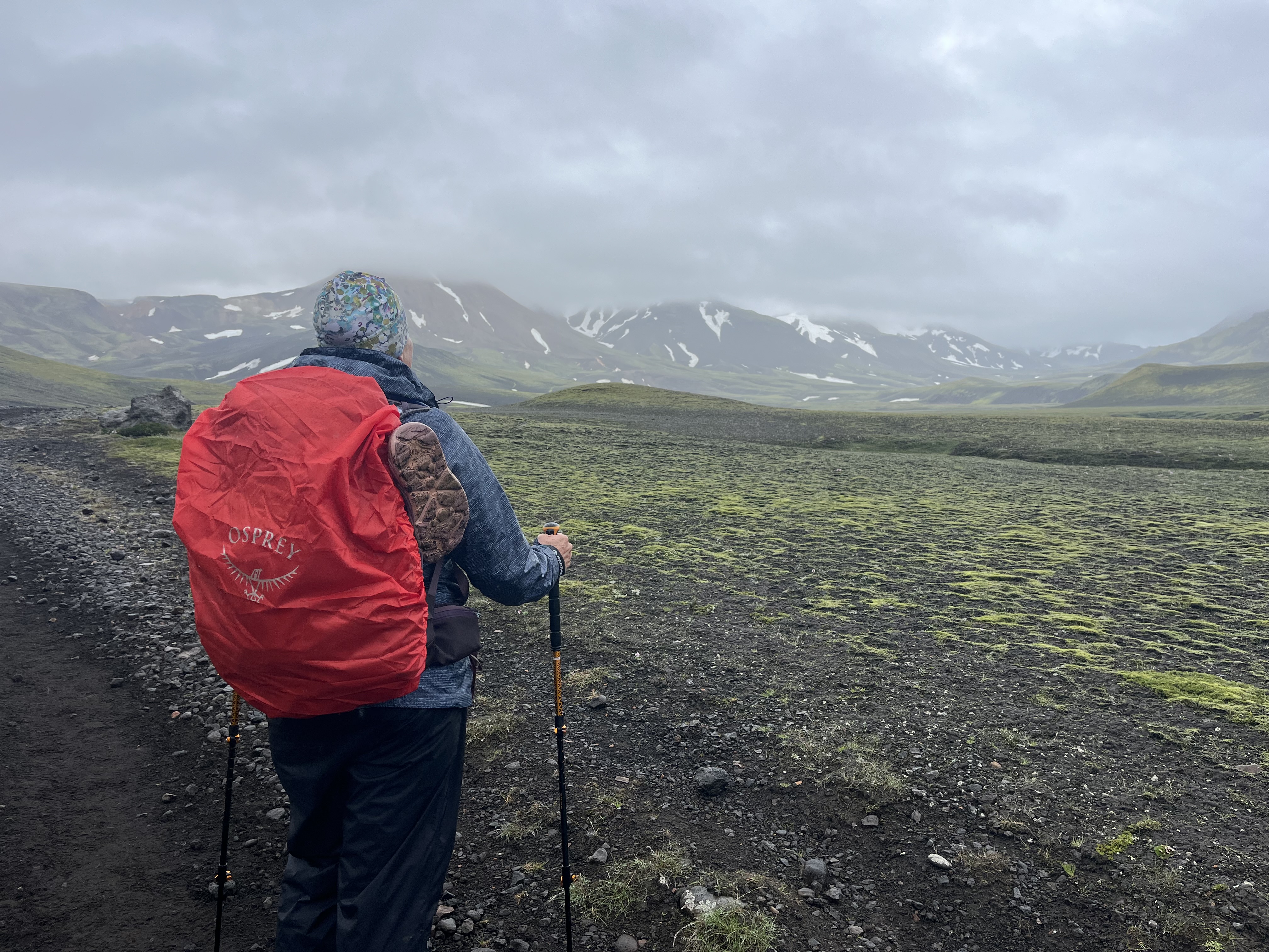
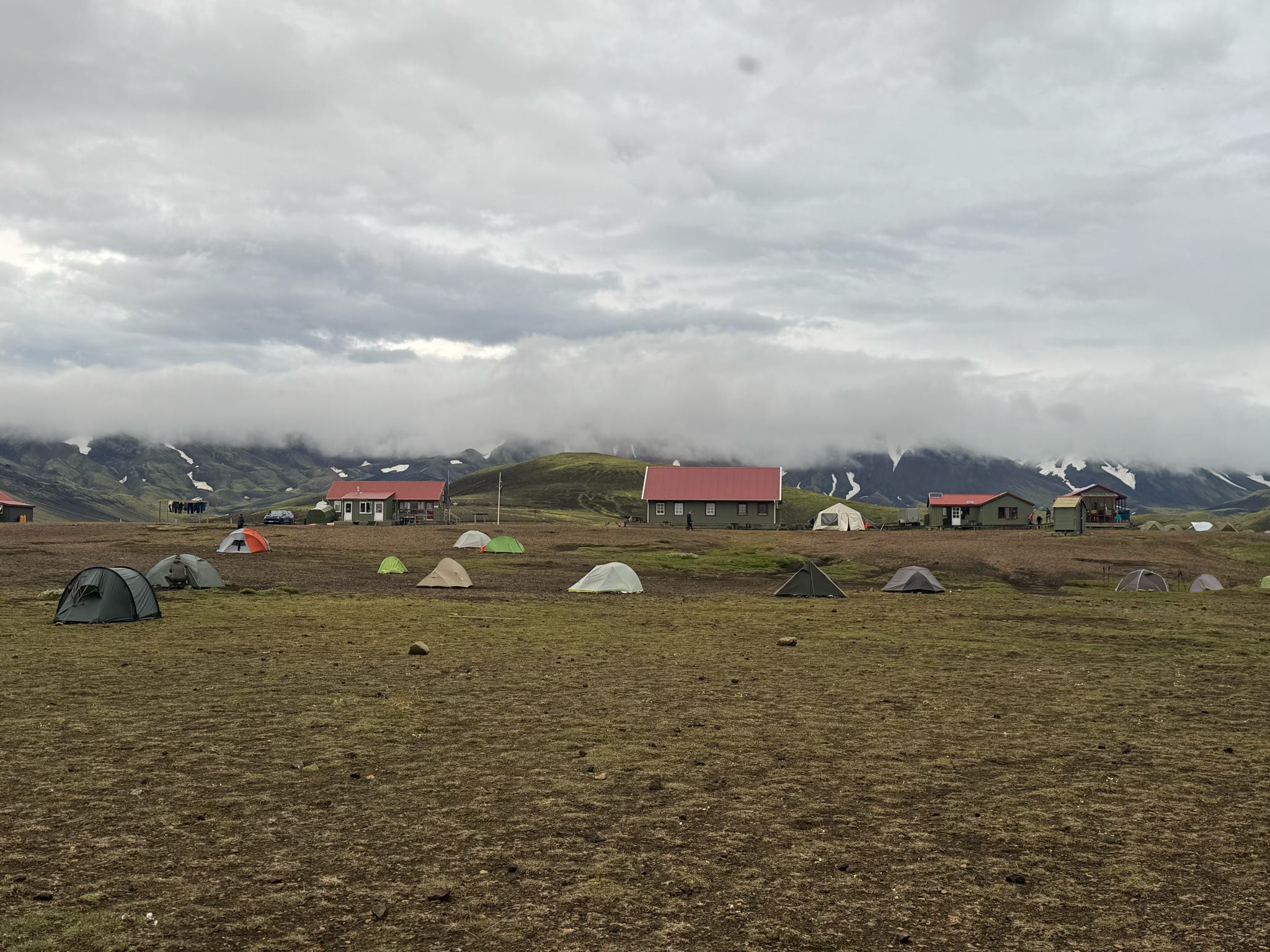
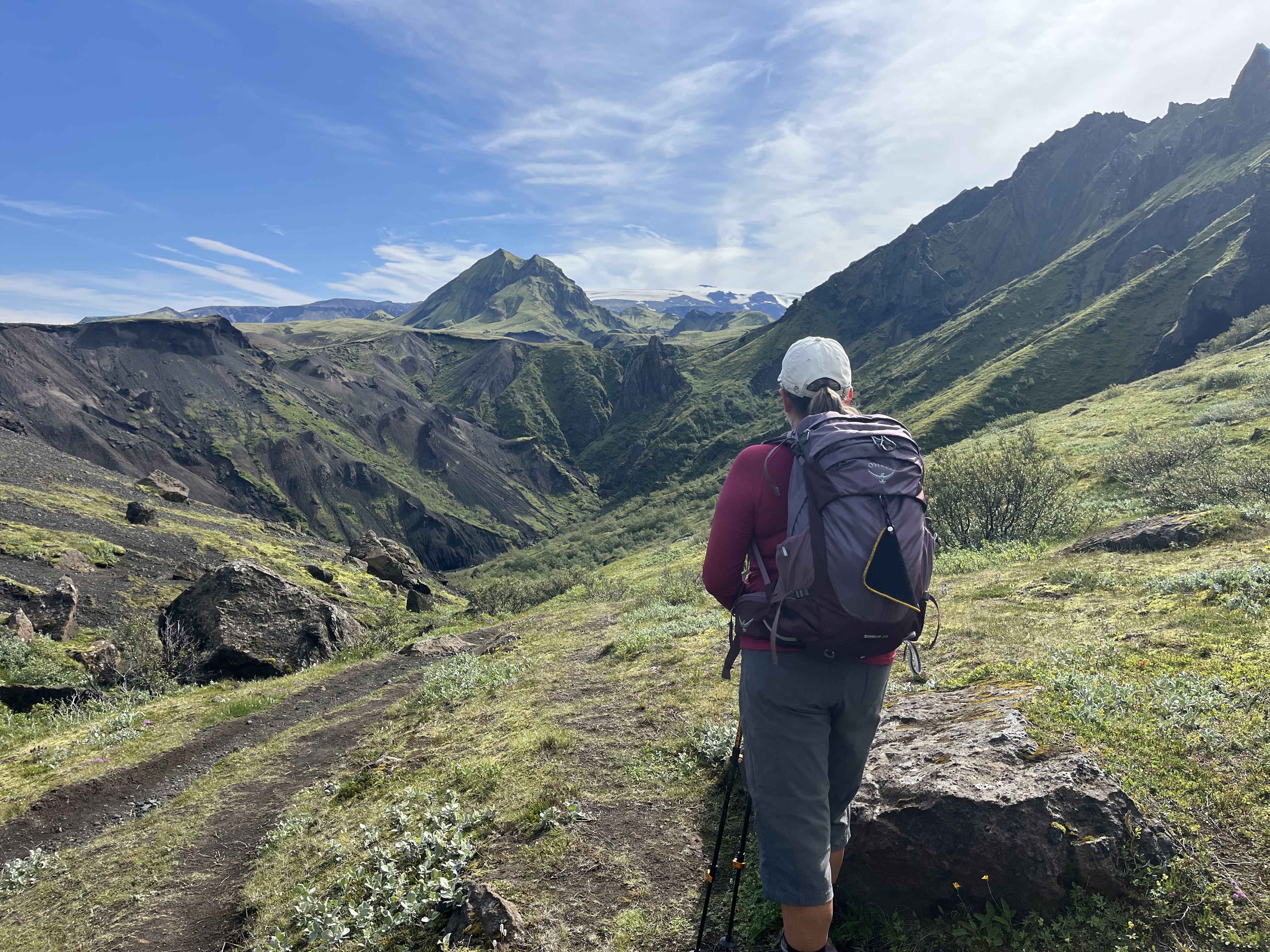
Greg doesn’t like to go anywhere in July and our White Rim experience brought back memories of backpacking in my 20s. So, I was inspired to find another multi day adventure out in the wilderness. I landed on an all women six day guided and supported hut to hut hiking trip with Viking Women on the Laugavegur Trail. This was my first big solo international trip. It was exhilarating, challenging, and so incredibly beautiful.

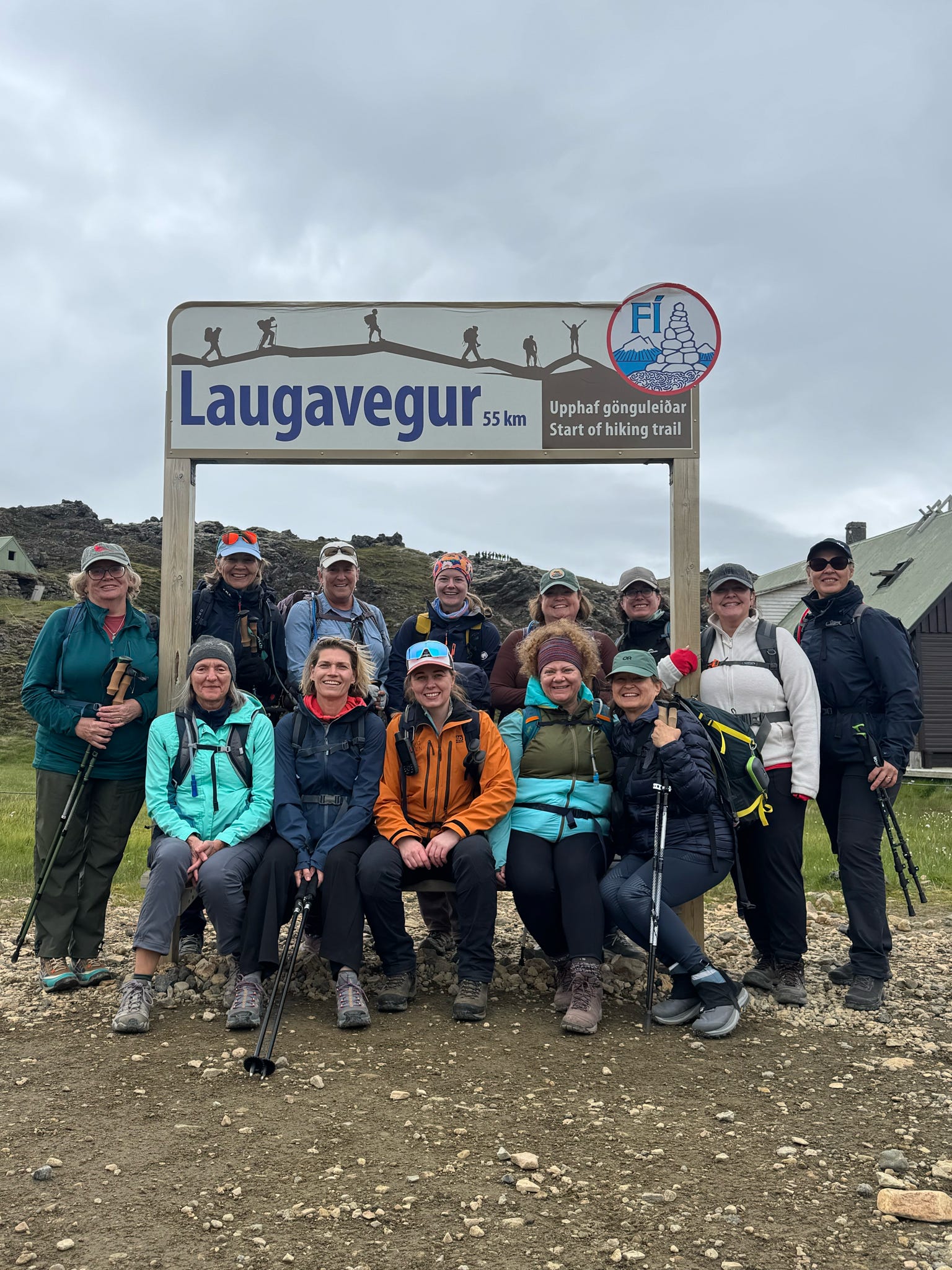
There were 12 of us plus our amazing guide, Anna. She truly loves her homeland and is so knowledgeable as well as fun and caring. We ranged in age from 29 to 64. There were three pairs of friends and the rest of us were solo travelers.

DISCLAIMER: THIS IS LOOONG, BUT MORE PICS THAN WORDS

Day 1: Landmannalaugar to Hrafntinnusker

~7.5 miles  ~2,100 feet

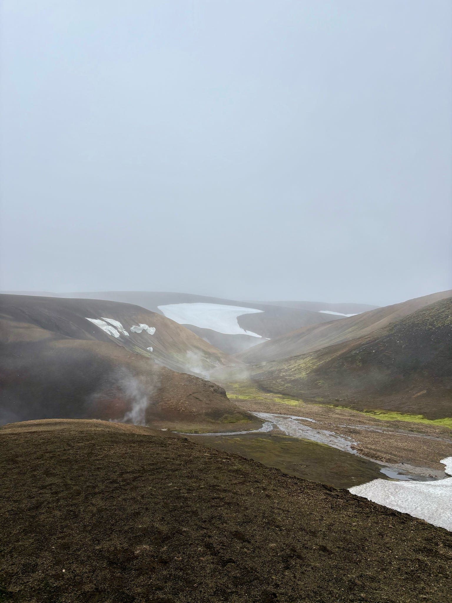
This day had the most varied terrain and weather as the hut is located at the highest point on the trail. There were numerous fumaroles and various sizes of hot springs.


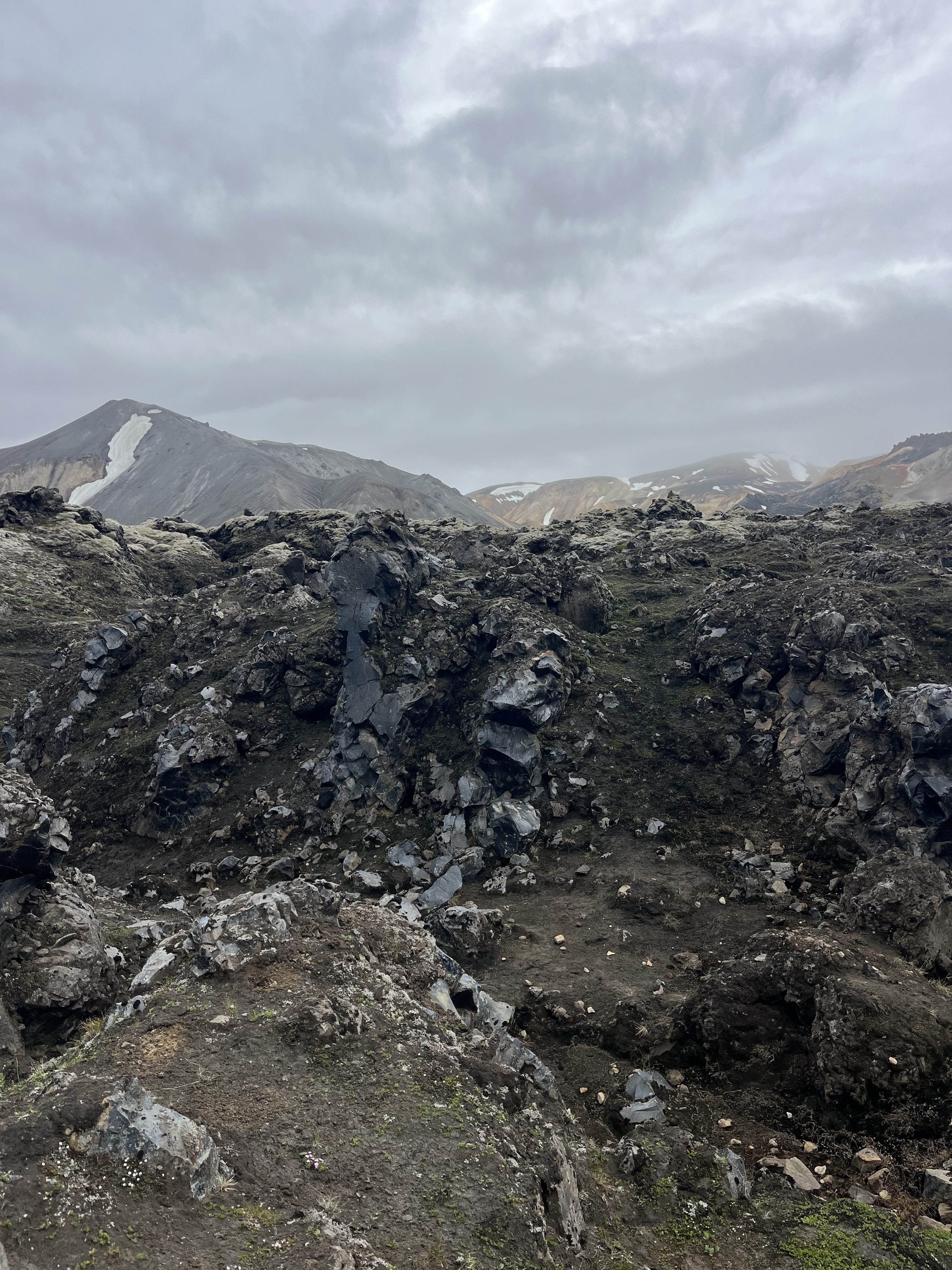
Obsidian at the top of the first climb.

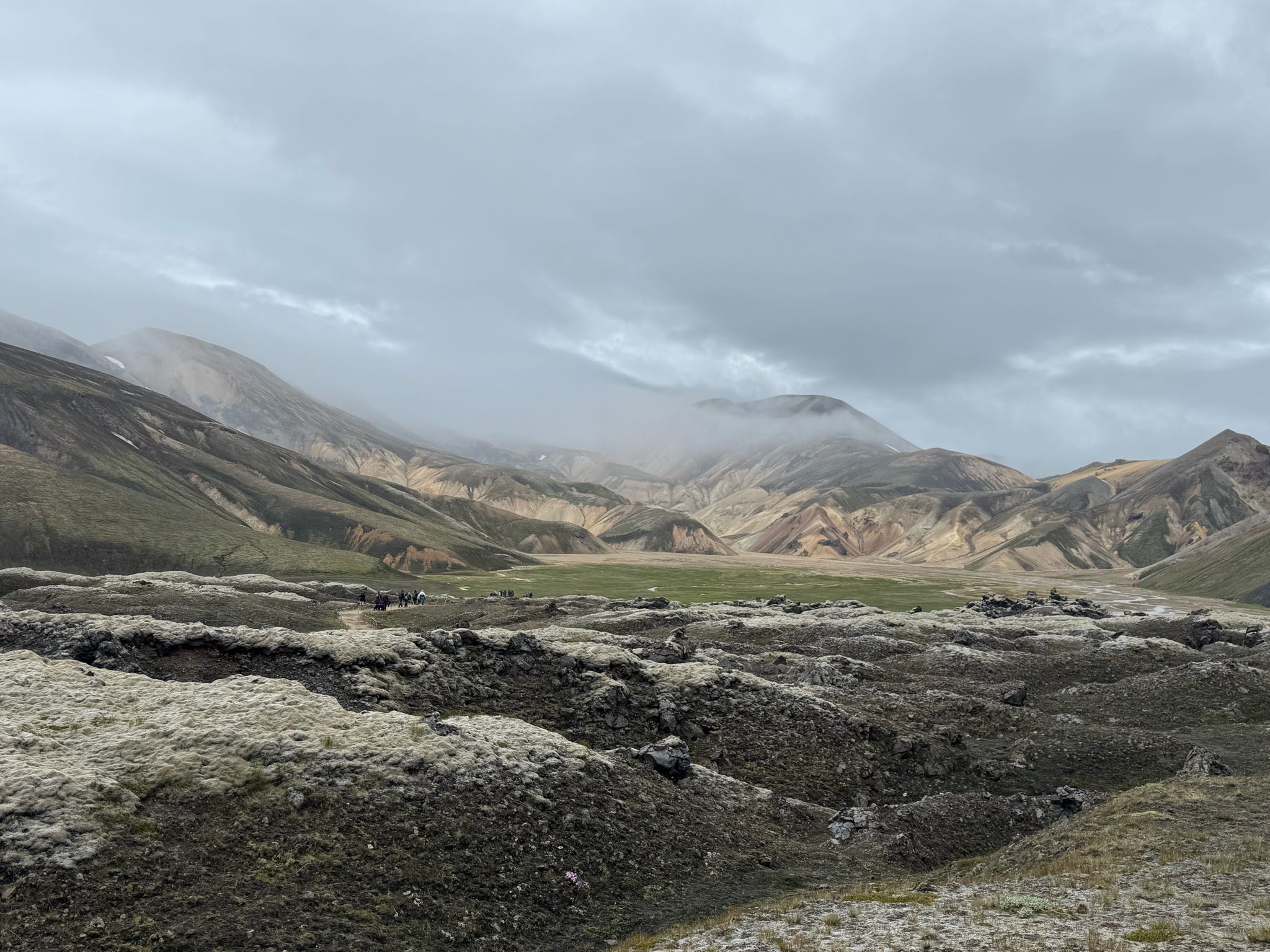
Looking back at where we started.

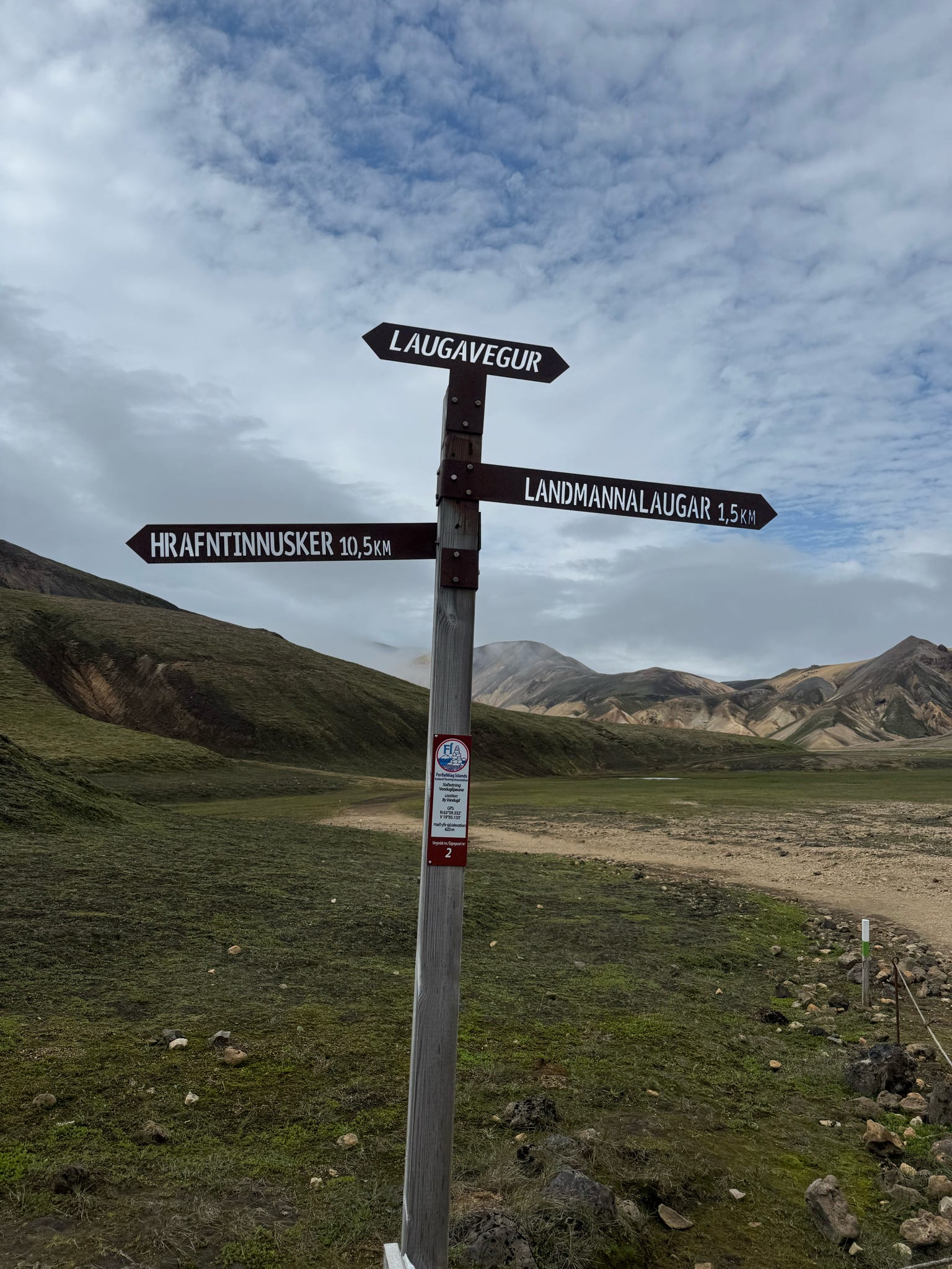
The first of many signs we saw along the trail.

The first of many snow patches. (That’s me with the mauve colored pack.)

That steam is where we were headed. The next picture is a video of that steam up close.

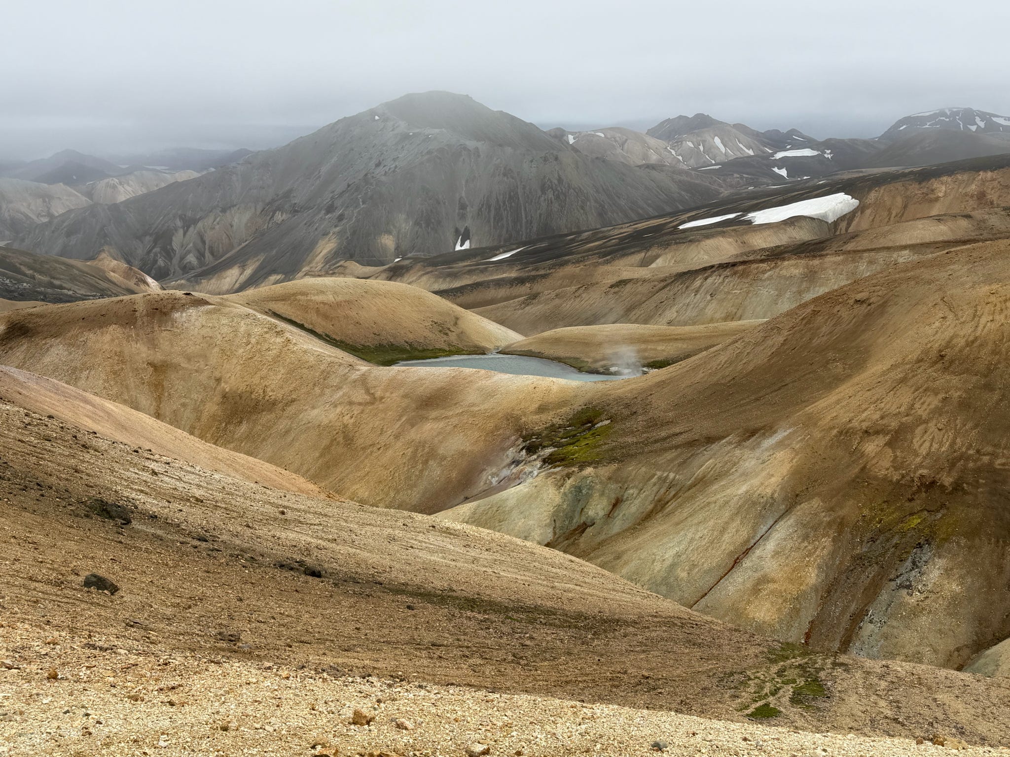
We were way down there to the left of that beautiful blue hot spring.

Visibility really changed as we climbed. We hiked across so much snow. It was melting below us in many places.

I stayed surprisingly positive through this section, but I really do wonder what it looks like in clear weather.

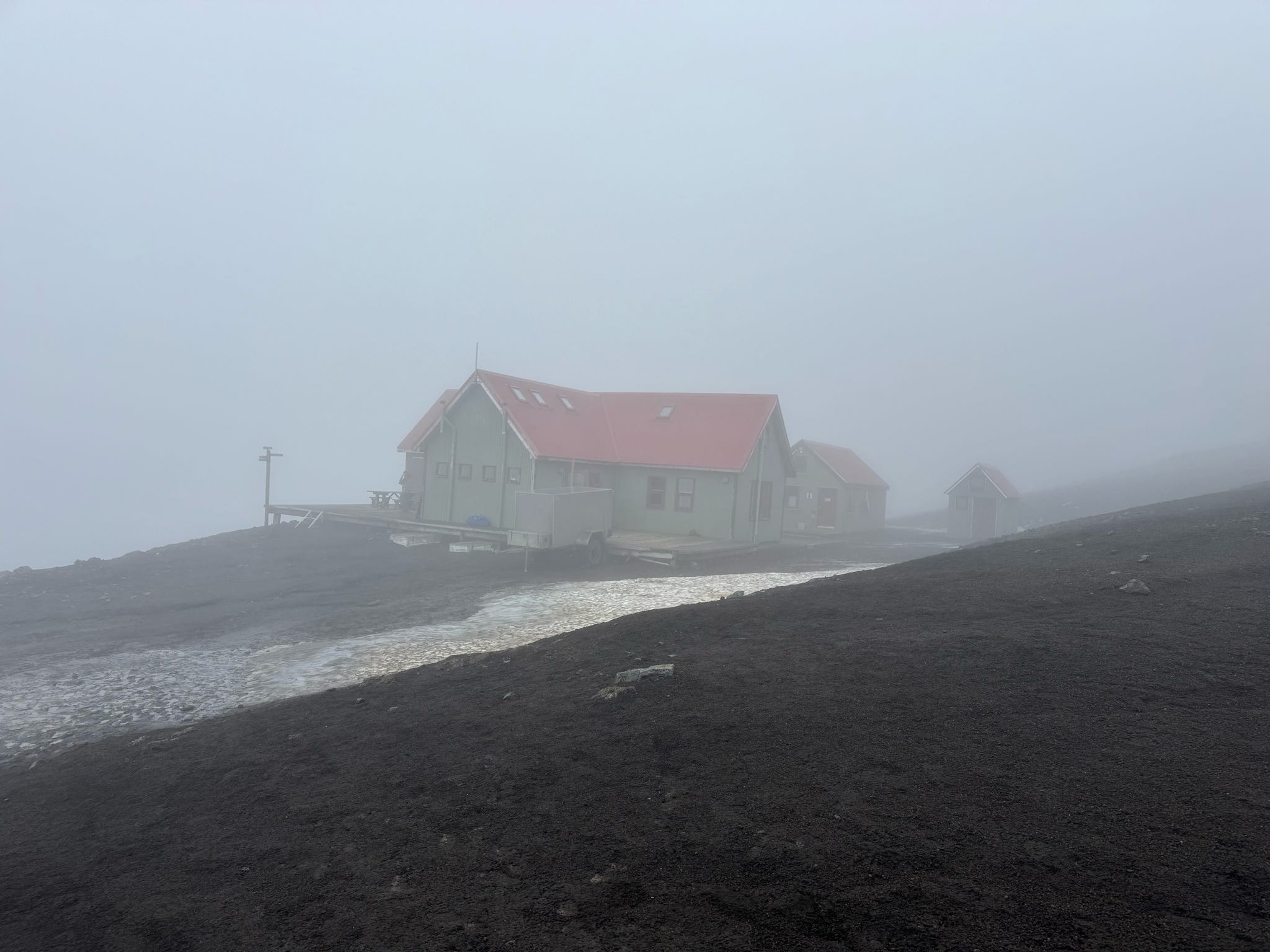
Finally the hut came into view! This was the only hut with pit toilets and no showers. It was so cold and windy no one cared that we couldn’t shower. The walk around to the bathrooms was quite unwelcome in the weather.

We had a room to ourselves at the first hut. Bunkbeds lined two walls with tables in the middle. Top bunk was a single and bottom was a double. Kathy (on the left) was my bunkmate. Mary (in the middle) had a bag of travel size booze and was happy to share. Cheers!

Day 2: Hranfntinnusker to Alftavatn

~7 miles ~1,100 feet *1 river crossing

The start of day 2 was super uninspiring, but Anna insisted the weather would improve eventually. In reality, it got worse before it got better. (That’s me at the back on the right.)

The wind increased and the rain was hitting us diagonally. Anna captured it in the above video and the rest of didn’t even think about using our phones. The rain dripped its way down our rain pants into our shoes and many of us had wet socks. Several of us thought our rain jackets were keeping us dry but we eventually found out our next layer was slowly getting wet.

In the gullies we had a reprieve from the weather…some of us wanted to hang out there. 😉


It became muddy and slippery.

Go down a ravine, cross a creek and go up the other side. Repeat. (That’s me on the left.)

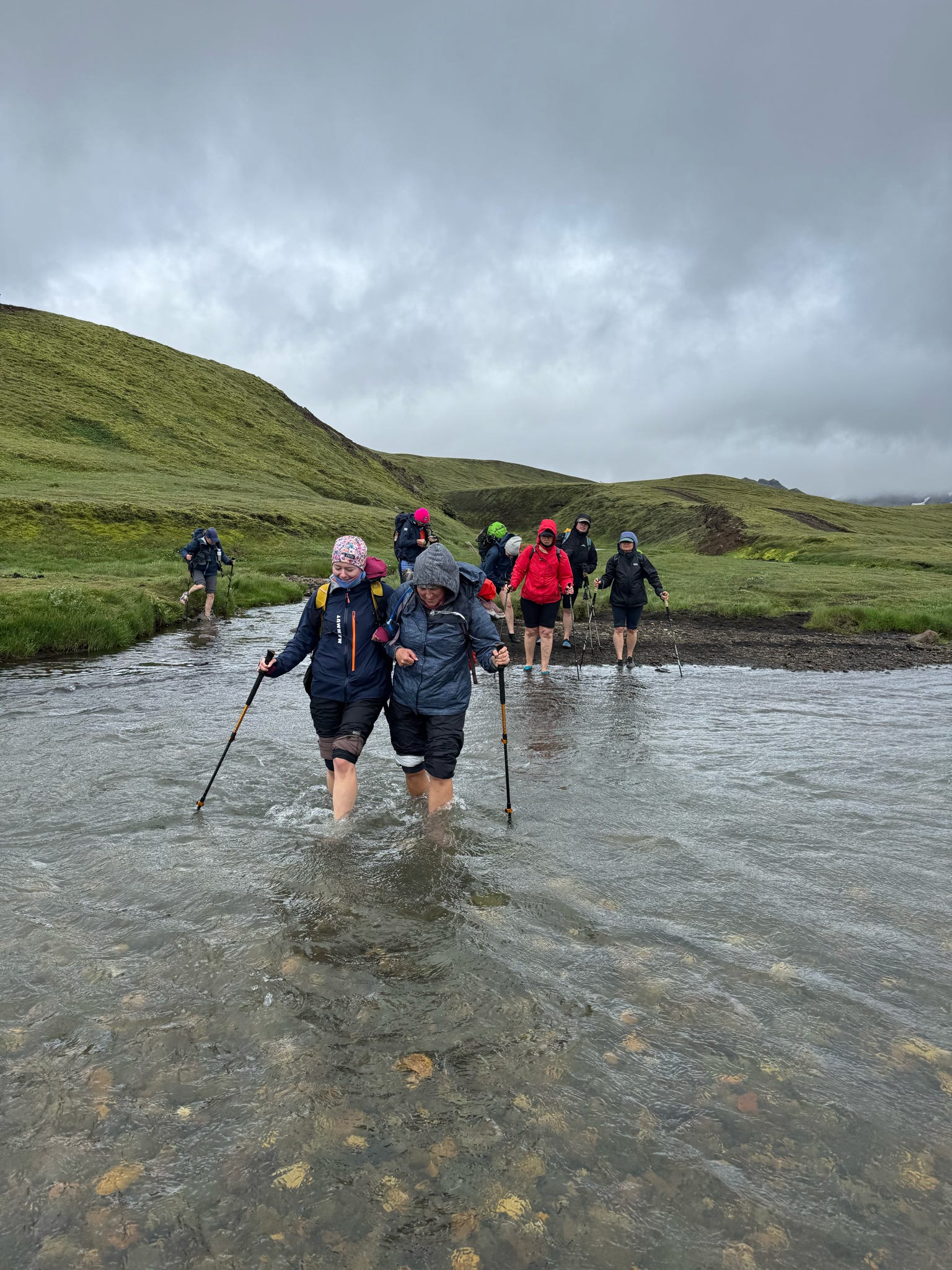
The first water crossing and the only one with a cable for support. That water was COLD and moving quite fast. (I am the last one in the pictures.)

It was quite time consuming to remove and put back on socks and shoes. Thankfully it had stopped raining and I put on my back up pair of dry socks. (That’s me in the foreground.)

Somewhere along this portion I got myself a bag of black volcanic sand to add to my collection.

We kept our rain covers on in hopes of keeping the rain from starting again, but it didn’t fool the rain gods.

Just as the huts came into view it started to rain again.

There was a nice boardwalk between the huts and bathrooms with showers! And beer for sale! I treated to myself to a shower and possibly more than one beer.

We shared this hut with at least 14 other people. Many arrived after us and were even wetter. Every possible space was used to dry things plus the mud room was overflowing with clothes hanging from the provided lines and hangers. It was quite a cluster fuck of fighting for space to get things dry. The two electric heaters were at high demand for drying smaller items and shoes.

Day 3: Alftavatn to Emstrur

~10 miles  ~1,800 feet  *2 water crossings

We woke to cloudy skies but no rain, only some wind!

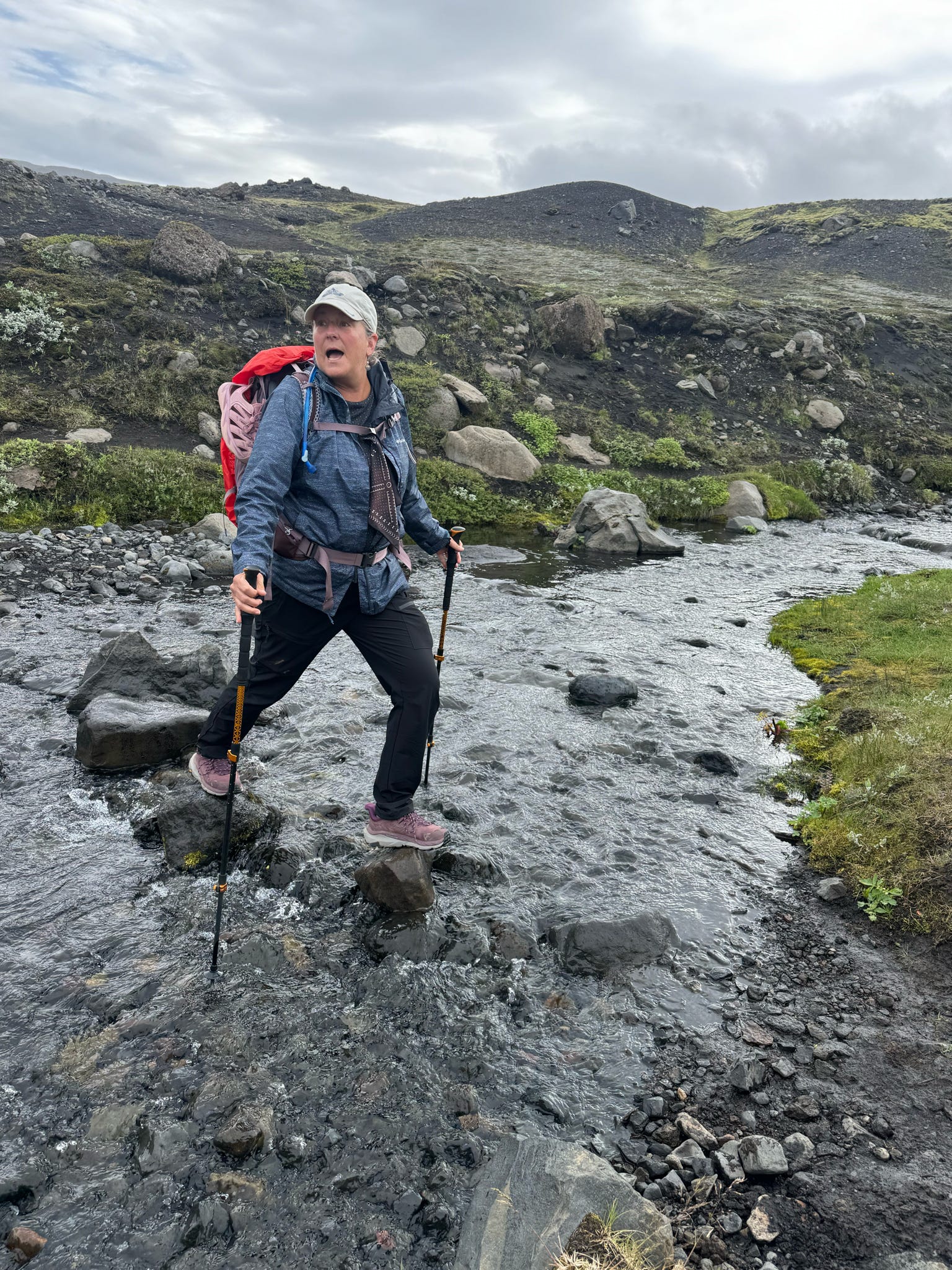
Day 3 started with a water crossing only 30 minutes into the hike. Zoe and I buddied up and giggled our way across the river.

The first sighting of blue skies! Happy happy joy joy!

Clearing skies and another river. The shadow in the second picture is the bridge.

We walked up stream to cross this river where it was wide and not as deep.

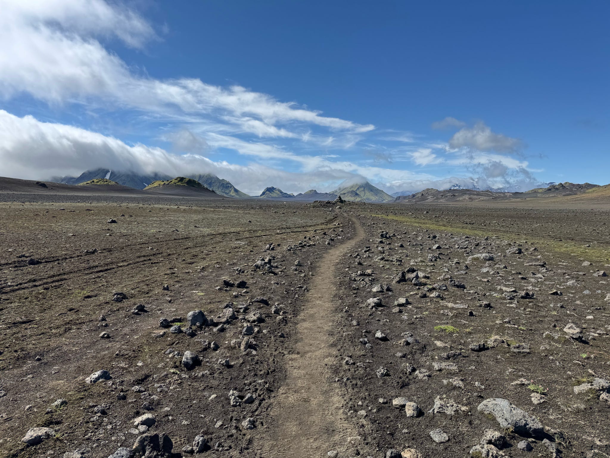
It became beyond windy for this long mostly flat section. I may have gotten a tad bit grumpy. “The road goes on forever and the party never ends.” (If you know, then you know.)

This was the biggest river of the trip. Quite impressive.

There was much more walking in the wind. Erica cracked me up with this comment: “When did Iceland become not pretty? When the wind hit 80 miles an hour!” Alas, we started heading downhill and the huts came into view.

The wind was kind enough to die down, but it was chilly as dinner was prepared.  Zoe and I became super excited when the clouds lifted and we could see the glacier. Many of the ladies loved that I brought my binocs.

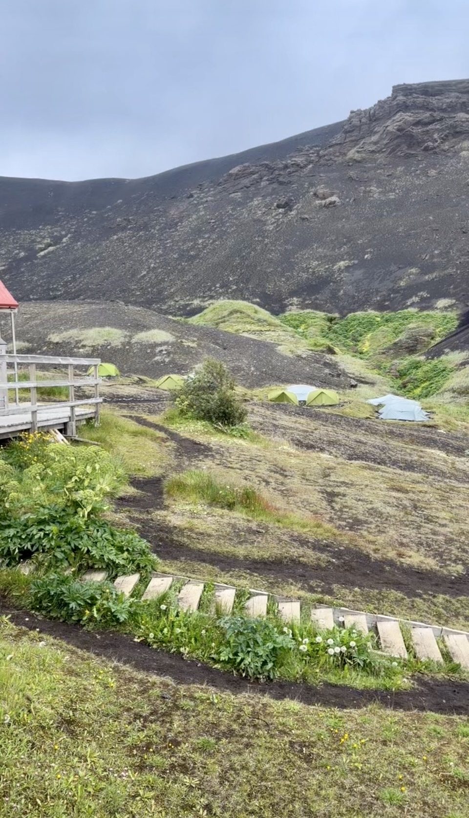
This hut was smaller and Anna asked for three of us to volunteer to sleep in a tent. I was more than happy to volunteer after I saw how small and cramped it was. Frederike and I slept like queens on really nice mattresses in one of those grey tents.

After dinner hike

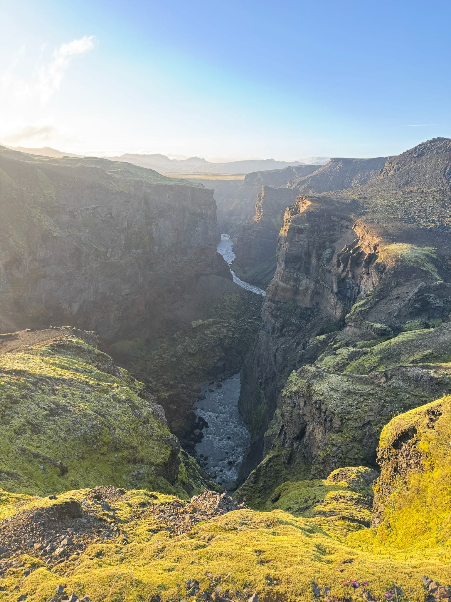
Anna took six of us to the canyon and it did not disappoint.

Looking north up the canyon. This is the same big river we crossed earlier in the day.

Looking south down the canyon.

So incredibly happy right here.

Entujokull glacier looked amazing as we headed back to the hut.

Day 4: Emstrur to Dorsmork

~10.5 miles  ~2,200 feet  *1 river crossing

Day 4 started out with the possibility of rain that thankfully never came. It turned out to be a perfect day for the last hike of the Laugavegur trail.

Lovely river crossing about 45 minutes into day 4.

After crossing the river we hiked along side it for quite a while.

Just having fun being silly.

Looking back at where we came from.

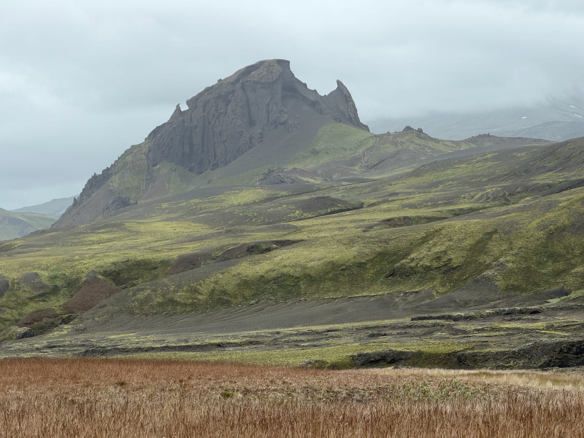
Unicorn Mountain

This was the last river crossing. It was actually the most dangerous one so there are no action shots. Anna was adamant about us being careful. It was the fastest moving river we crossed.

The last hut came into view after a long descent on many many steps. We had our own room in this hut and stayed for two nights. I had a top bunk all to myself!

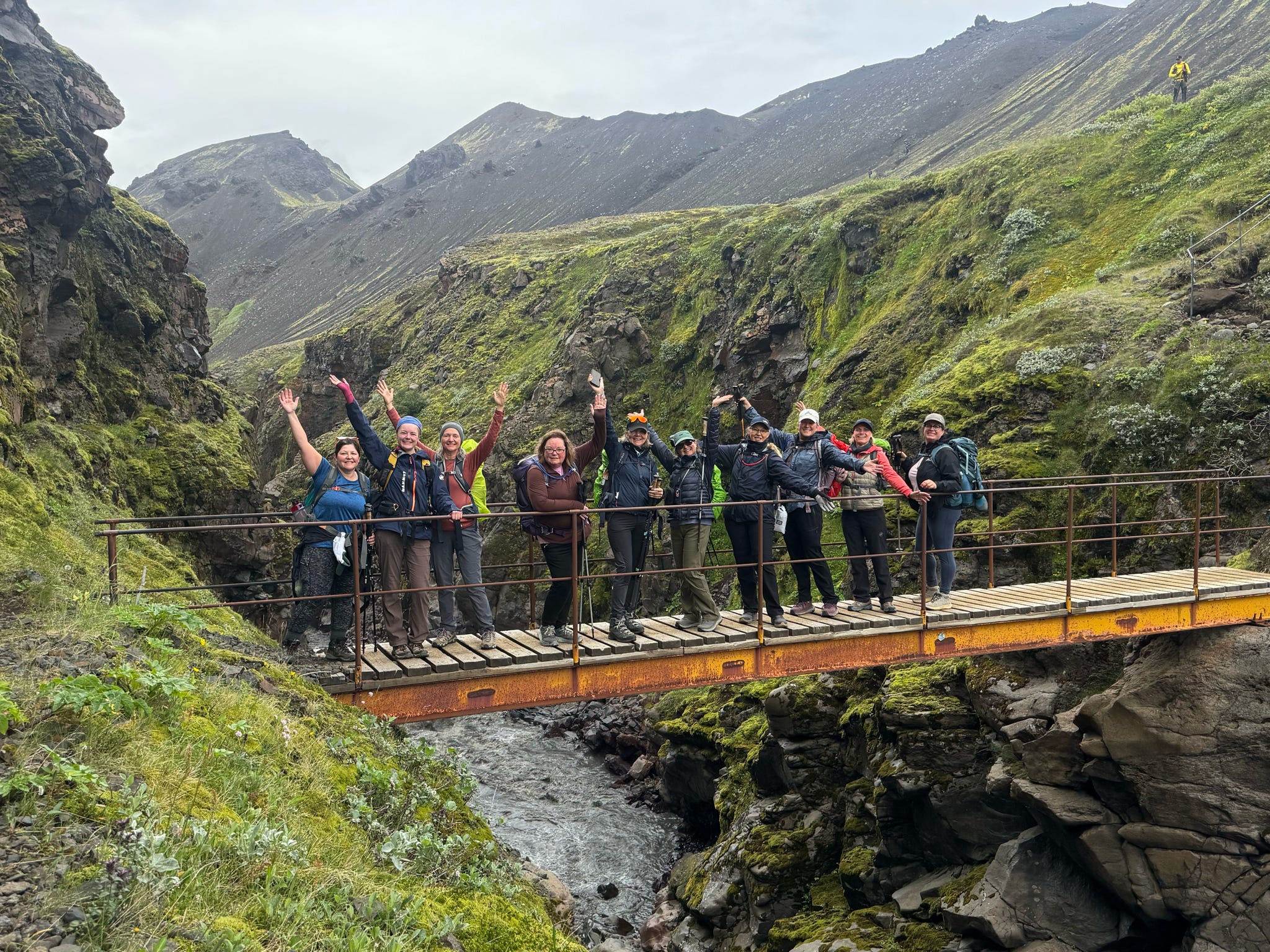
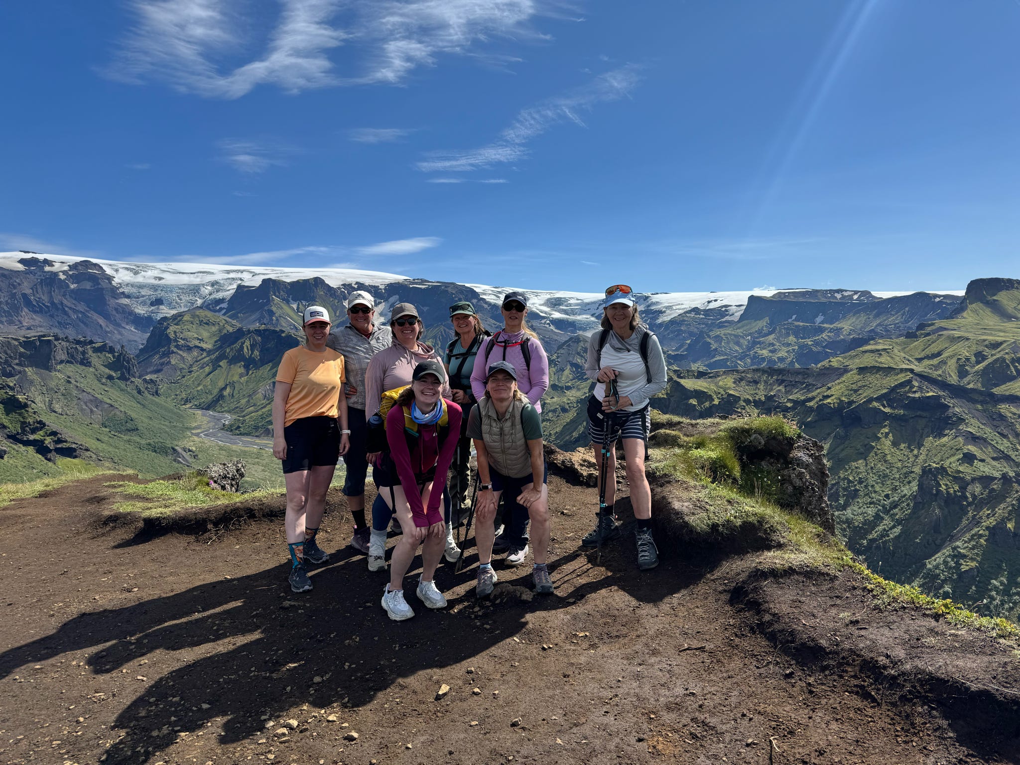
A bunch of happy Viking Women!

Day 5  Tindfjoll Circle Hike

~7.5 miles ~1,700 feet

Seven of us went on this hike. It was beautiful and very different from what we had been hiking.

The viewpoint was amazing!

That’s a glacier behind us.

Day 6 Hike to Valahnukur Mountain

~4 miles  ~800 feet

Great view of where we started the hike.

Our last hike together.

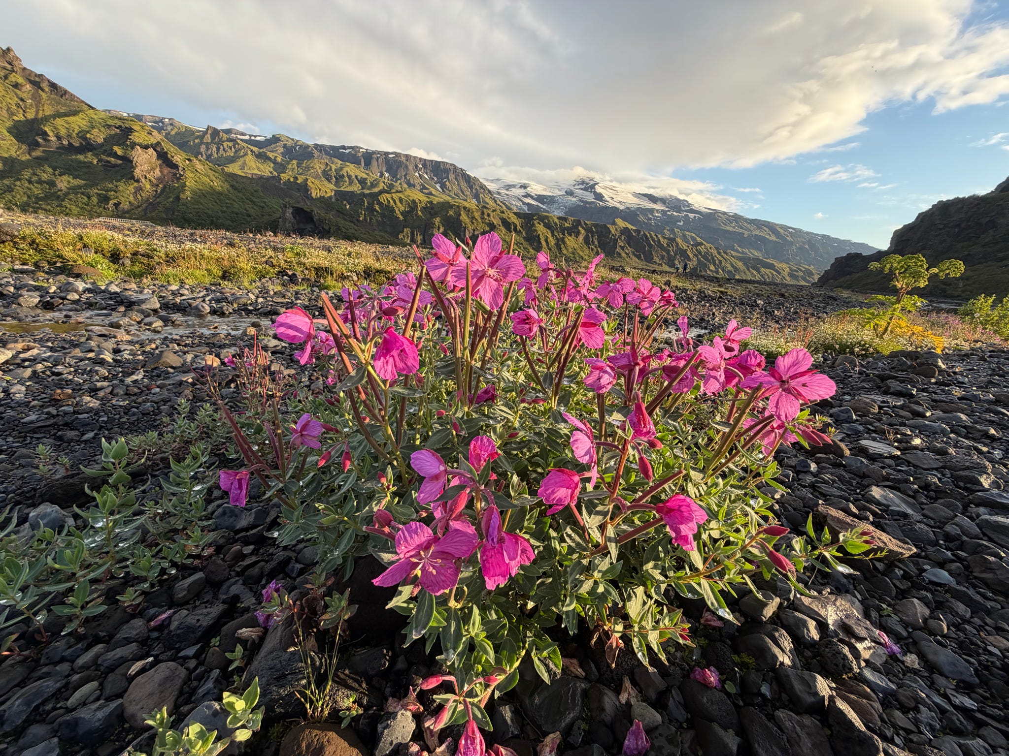
Flowers galore!

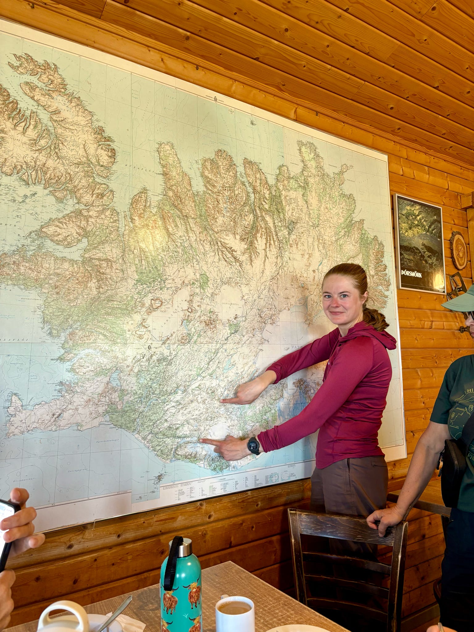
Zoe showing the length of the Laugavegur trail on the whole map of Iceland. It felt like so much more!

I’m so grateful for this trip of a lifetime. ❣️

Laguna Mountain: June 21-25, 2026

Our beautiful local mountains


Here I am again extolling the virtues of San Diego County! It’s the most biologically diverse county in the continental United States. From our house the mountains are sixty minutes away, the beach twenty minutes, and the desert eighty minutes. Great weather year around and mountain biking trails right from our house! And the convenience factor is high. Within a three mile radius we have a Costco, Trader Joes, Sprouts, and Vons.

It’s so easy to get up to Laguna Mountain, and mid week there are no crowds, so it has become an annual thing. This trip was four nights. Amy’s dad, R, came up in his trailer for two nights. The guy is turning 80 in August and still hitching up his trailer and camping all by himself! He’s going to keep on doing his Agua Caliente camping routine until he can’t.

Usually we just mountain bike, but this trip we worked in a nine mile hike. Amelia is in training for her solo trip to Iceland in three weeks! She’s doing a hut to hut hike with a womens’ group. It’s six days, 47 miles, on the Laugavegur Trail.


Mountain biking in the mountains

The Sunset trail was part of our nine mile hike. It was the first time for us.

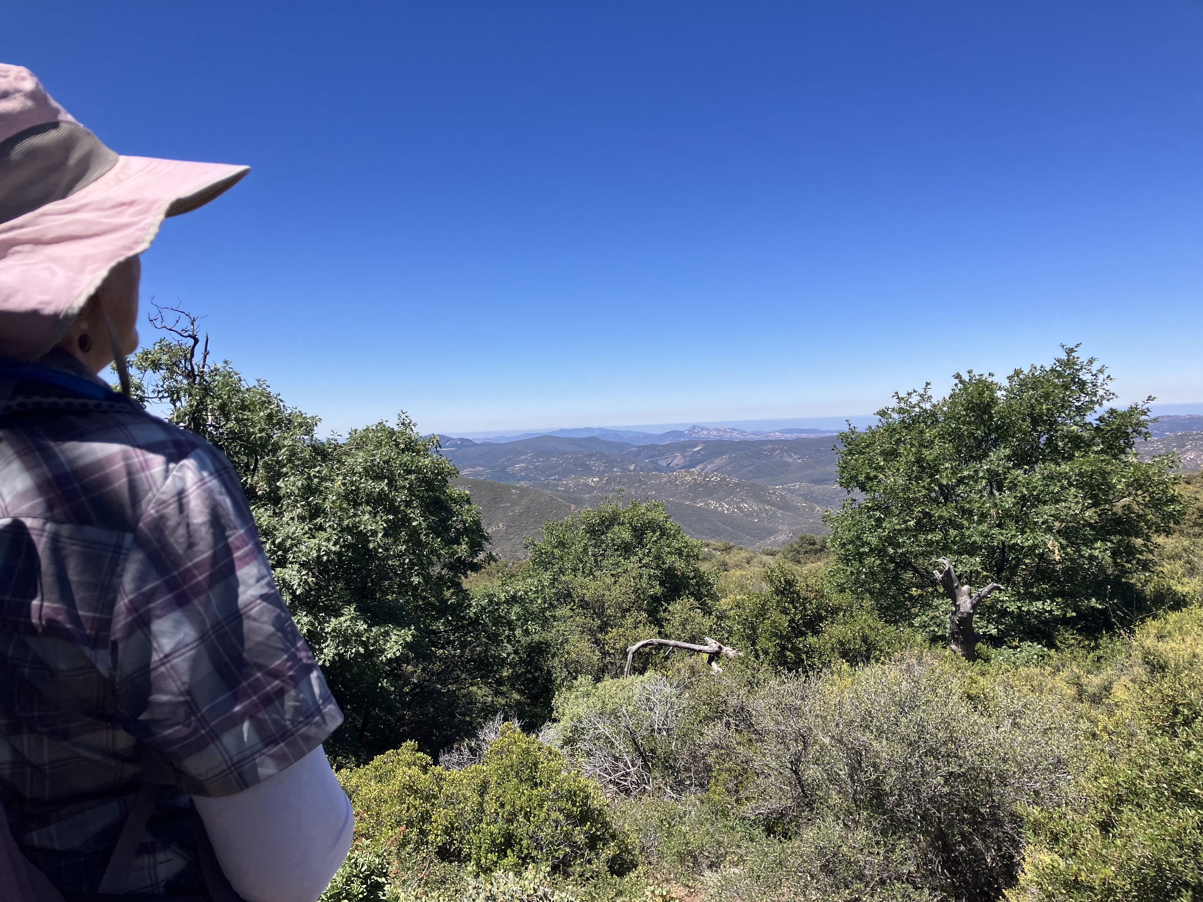
One of the view points looking west.

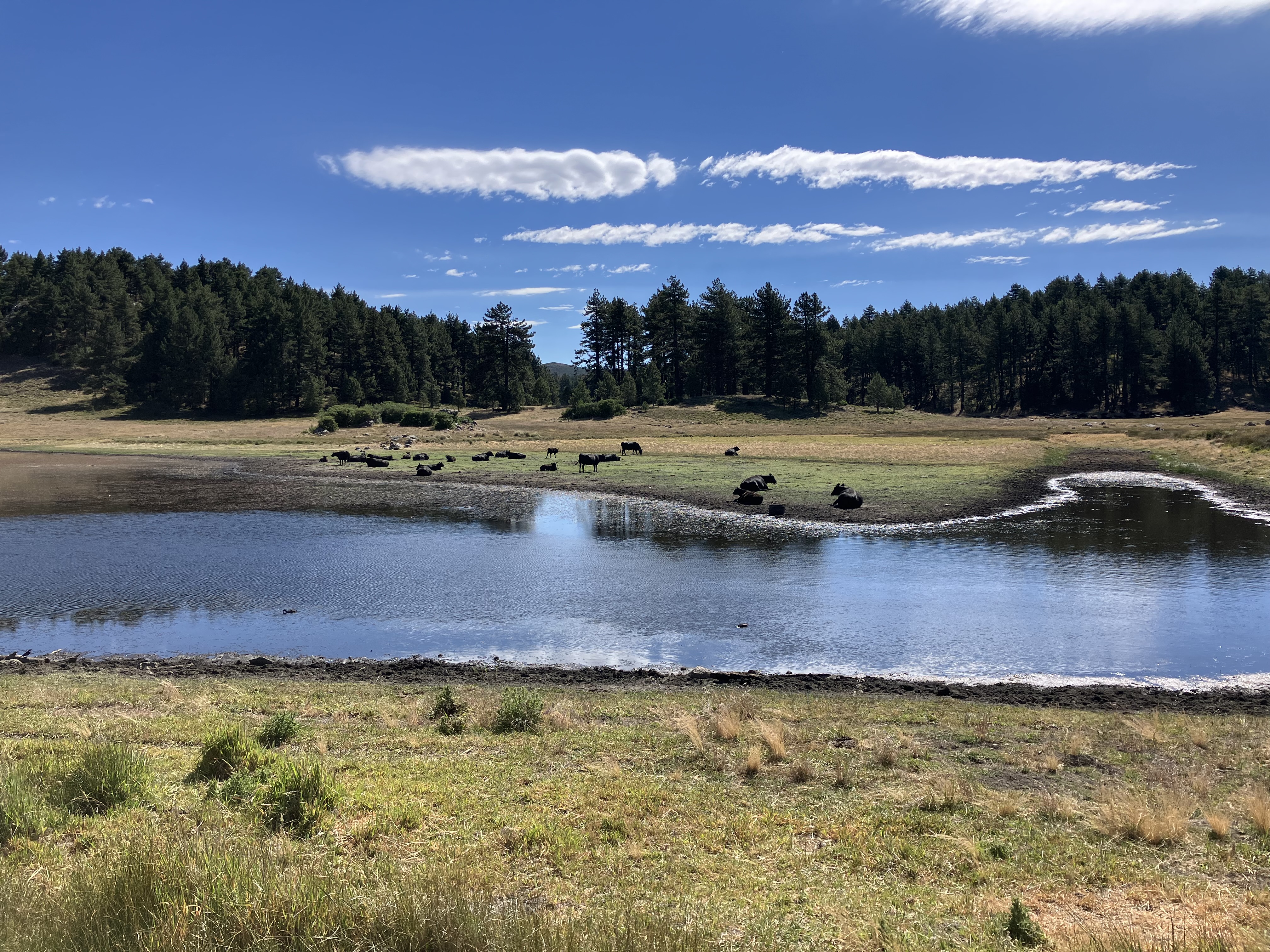
Big Laguna Lake, not so big this time of year.

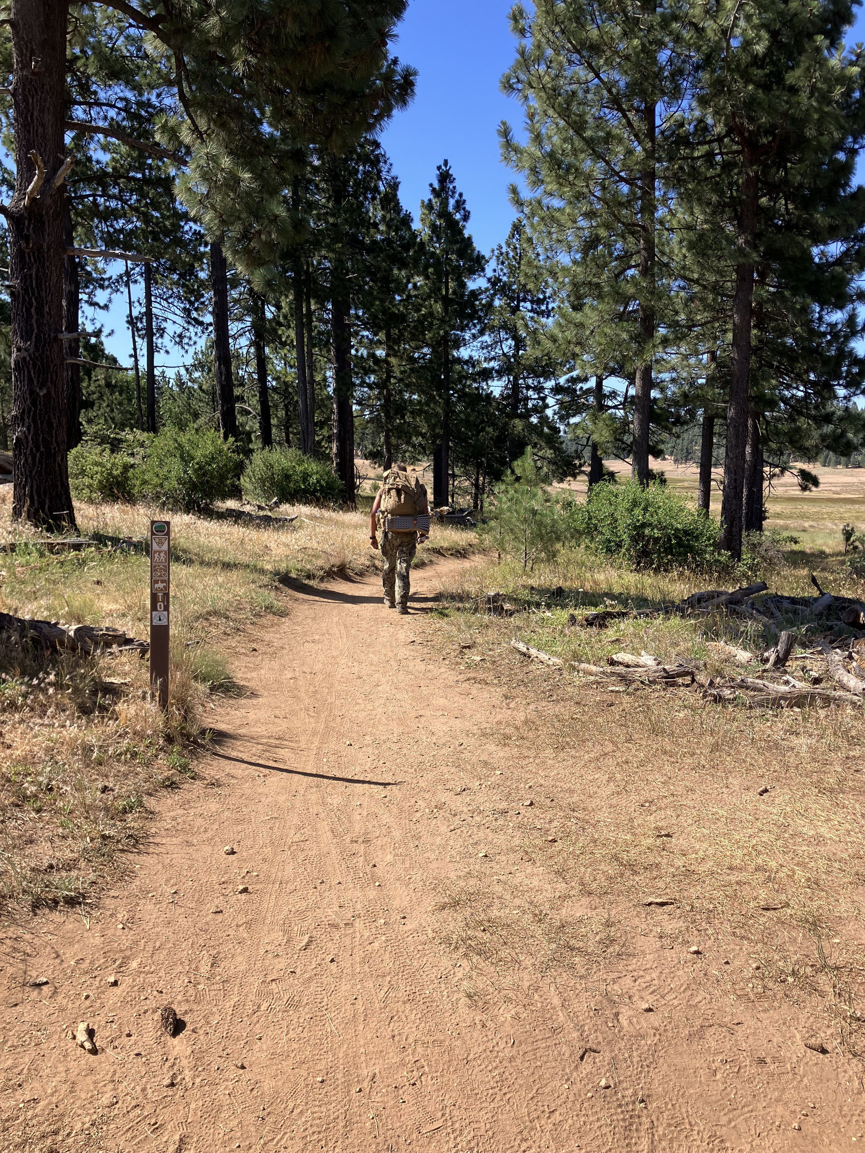
The Navy Seal guys were out again doing land navigation training.

No rattlesnakes this trip, just two gopher snakes. A big one and a small one.


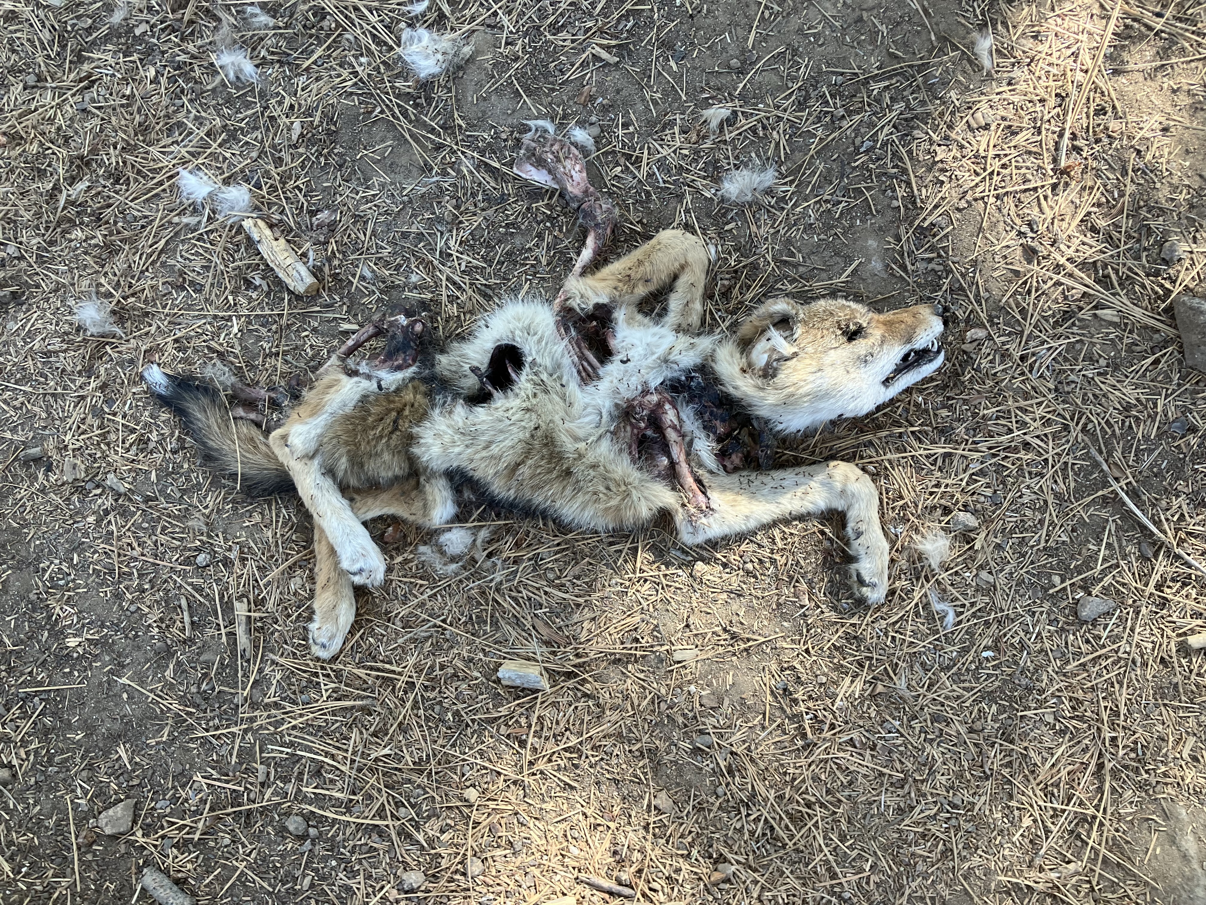
Sad, this little Gray Fox was eviscerated by something.

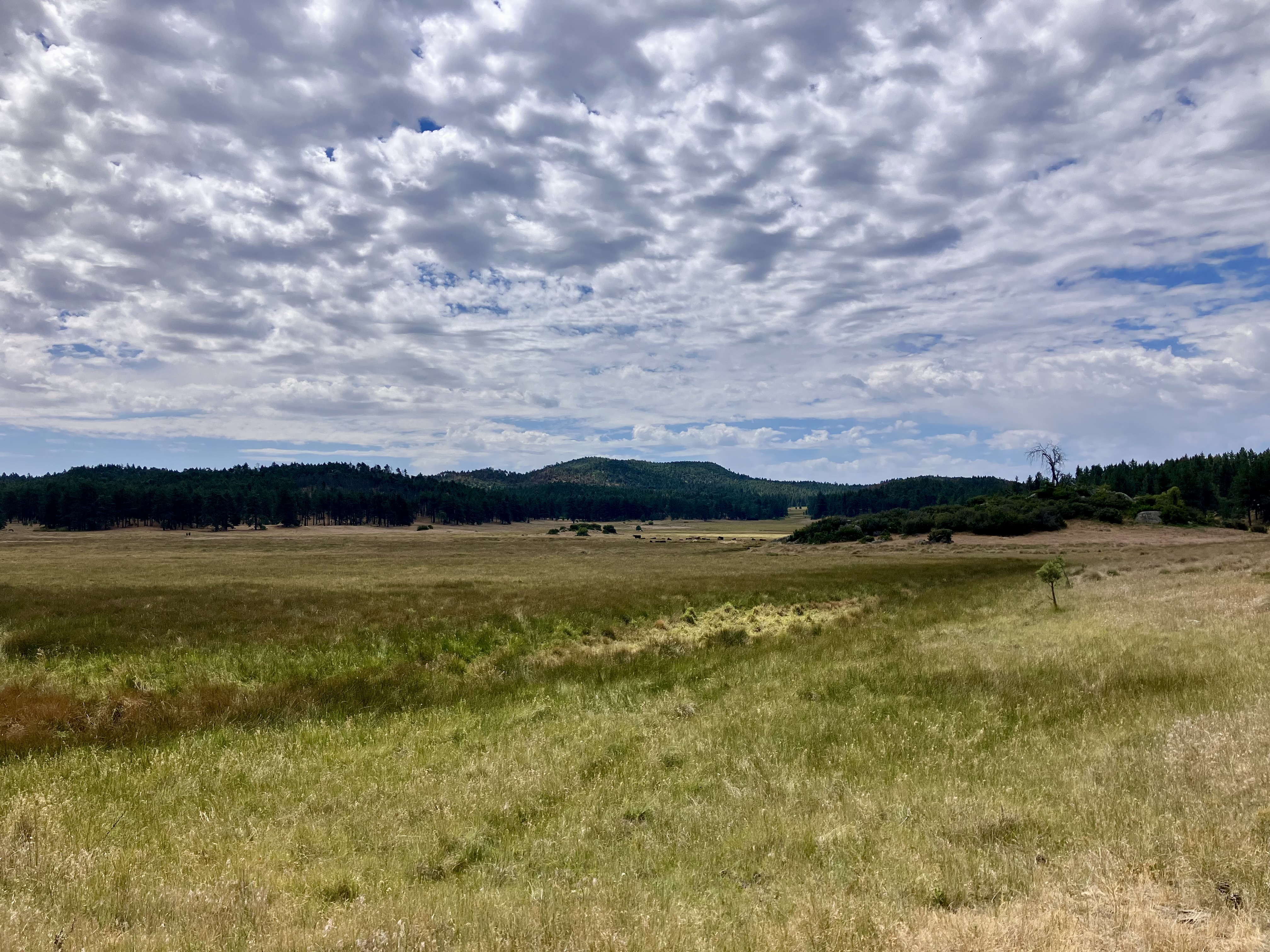
One of the afternoons we had beautiful cloud cover.

Montane Woolly-Star

California Milkweed

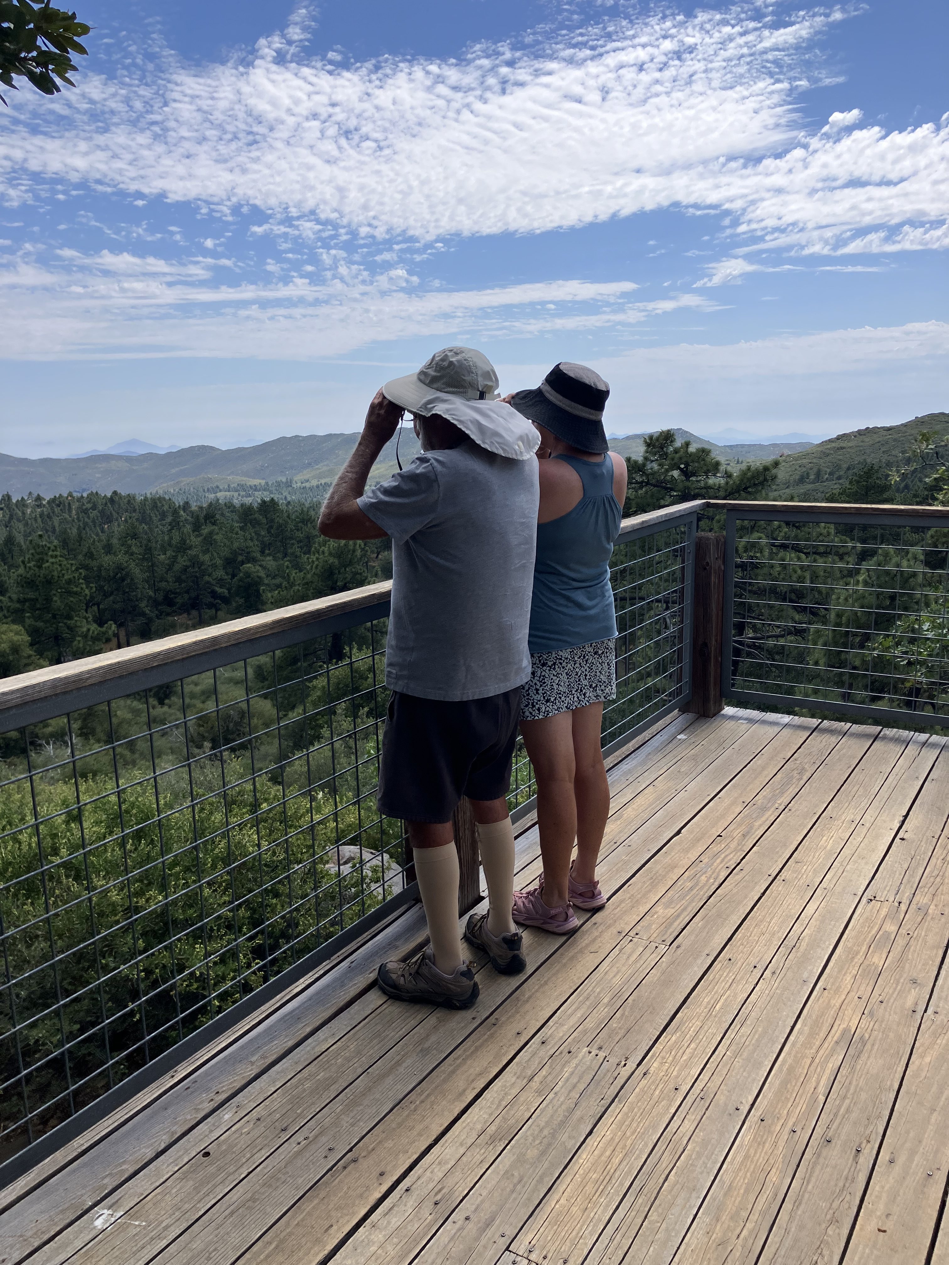
Father and daughter on the deck of one of SDSU’s observatories.

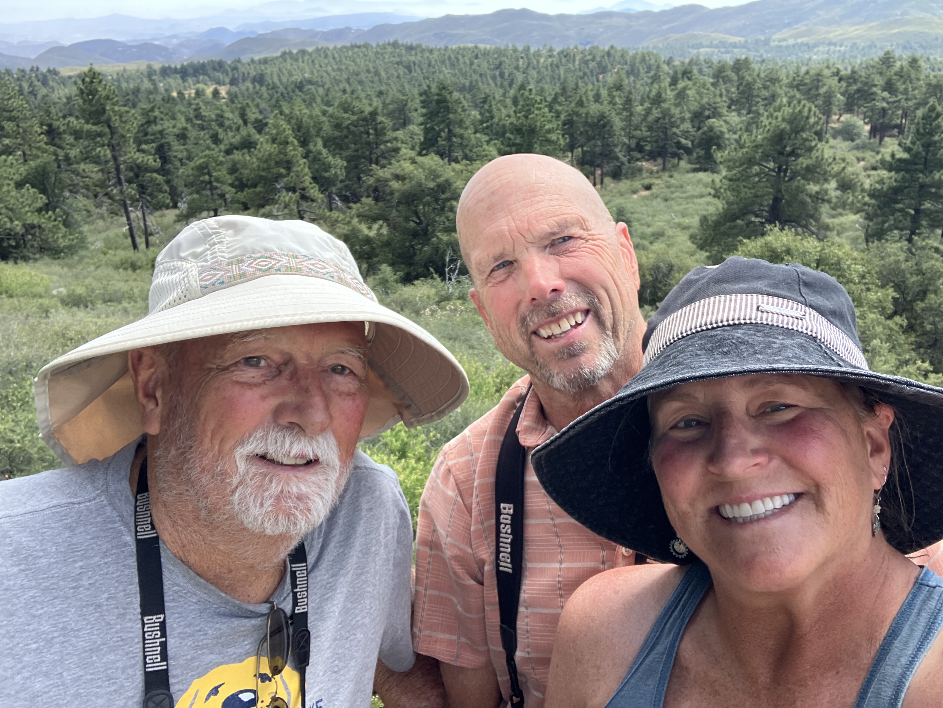
The obligatory selfie.

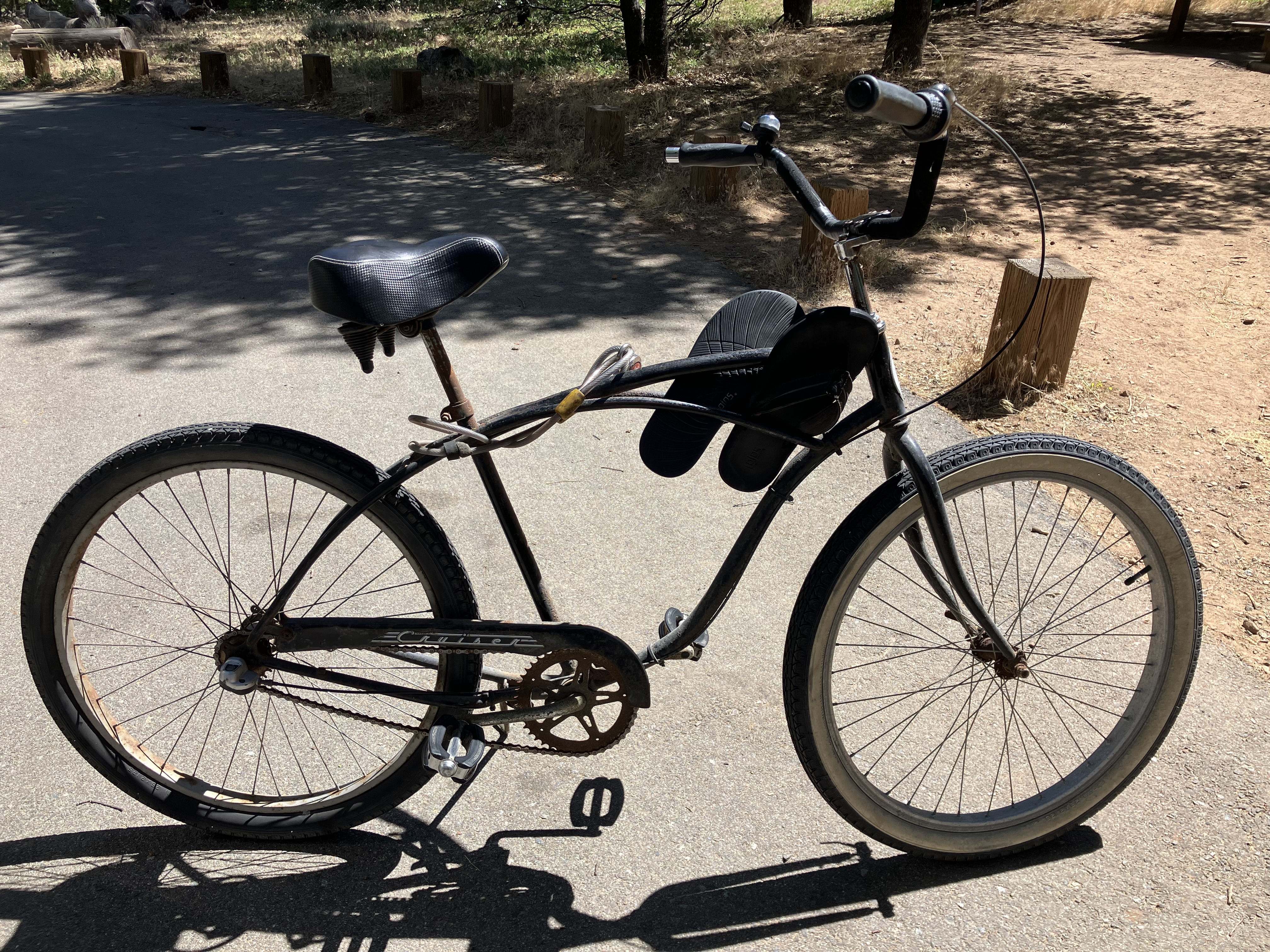
R’s thirty-five year old rust bucket beach cruiser. The flip flops are always on the frame because you can’t go into the library barefoot.

Tough life in retirement.

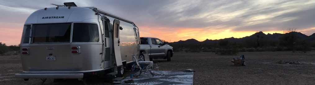
Ol’ Opal is looking pretty good for a 2012 Airstream!


Primm, Nevada: April 28, 2026

September 2023, Interstate 15 with Primm, Nevada in the distance


If you live in Southern California and have driven to Las Vegas, then you have seen Primm. The news is out about the demise of Primm and its three casinos. Once upon a time Primm was called State Line. I remember distinctly how excited Fralia and I were to cross State Line in the Summer of ’78. Back then the only casino was Whiskey Pete’s. It opened in 1977. Then Primm Valley Casino opened in 1990 and Buffalo Bill’s opened in 1994 and its big attraction was the roller coaster. Amelia and I rode it in ’98.

Whiskey Pete’s closed in 2024. Buffalo Bill’s was shuttered in 2025. And Primm Valley Casino will be no more in July. I have no idea if they will be torn down or remain standing and covered in graffiti, much like the Rock-a Hoola Waterpark almost half way to Las Vegas on the 15. I still wonder what the hell they were thinking opening that waterpark in literally the middle of nowhere.

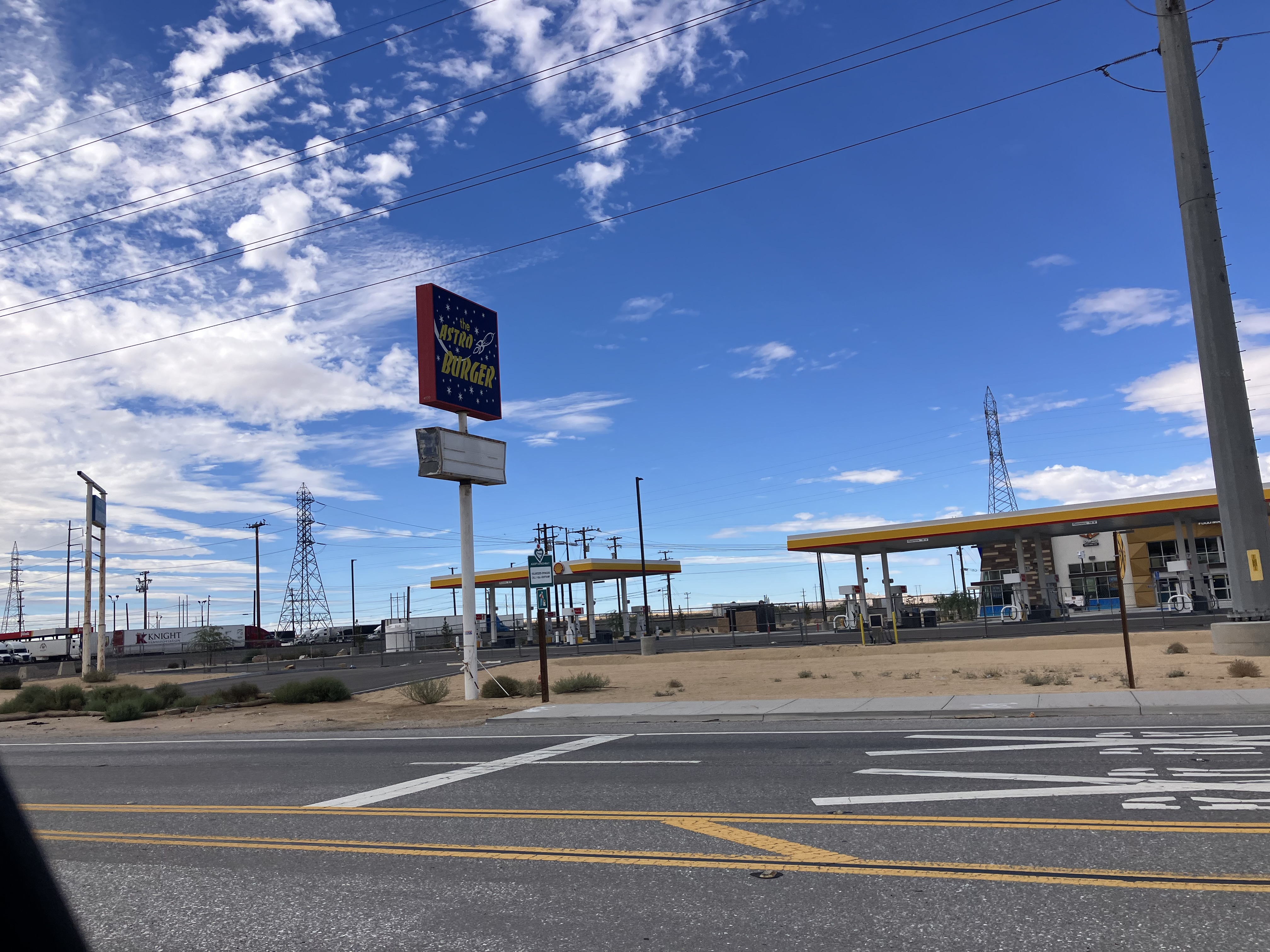
It’s always exciting to leave on a trip and always great to be back home. What a paradox. The drive home from Utah is always a tough one because we have to drive through the Inland Empire. Leaving from Hanksville we had a solid 12 hour drive in front of us so we were looking for a spot to break up the drive and spend the night. There’s a little BLM dirt lot far enough behind Whiskey Pete’s to not really hear the freeway. It was eerie driving through and around the closed casino. The gas station is still open, but barely. I went inside the store. It was sad and what few employees that remained couldn’t give a shit about anything. Behind the casino there must’ve been fifty semi-trucks parked all in a row. The truckers were all resting to stay within the limits of the federal Hours of Service (HOS) regulations. Past that is the BLM dirt lot where we stayed.

Our site, we were the only ones. Yes, it was kind of creepy. In the distance you can see the Ivanpah Solar Electric Generating System. You can’t miss it driving on the 15. It’s those tall towers reflecting the sun.

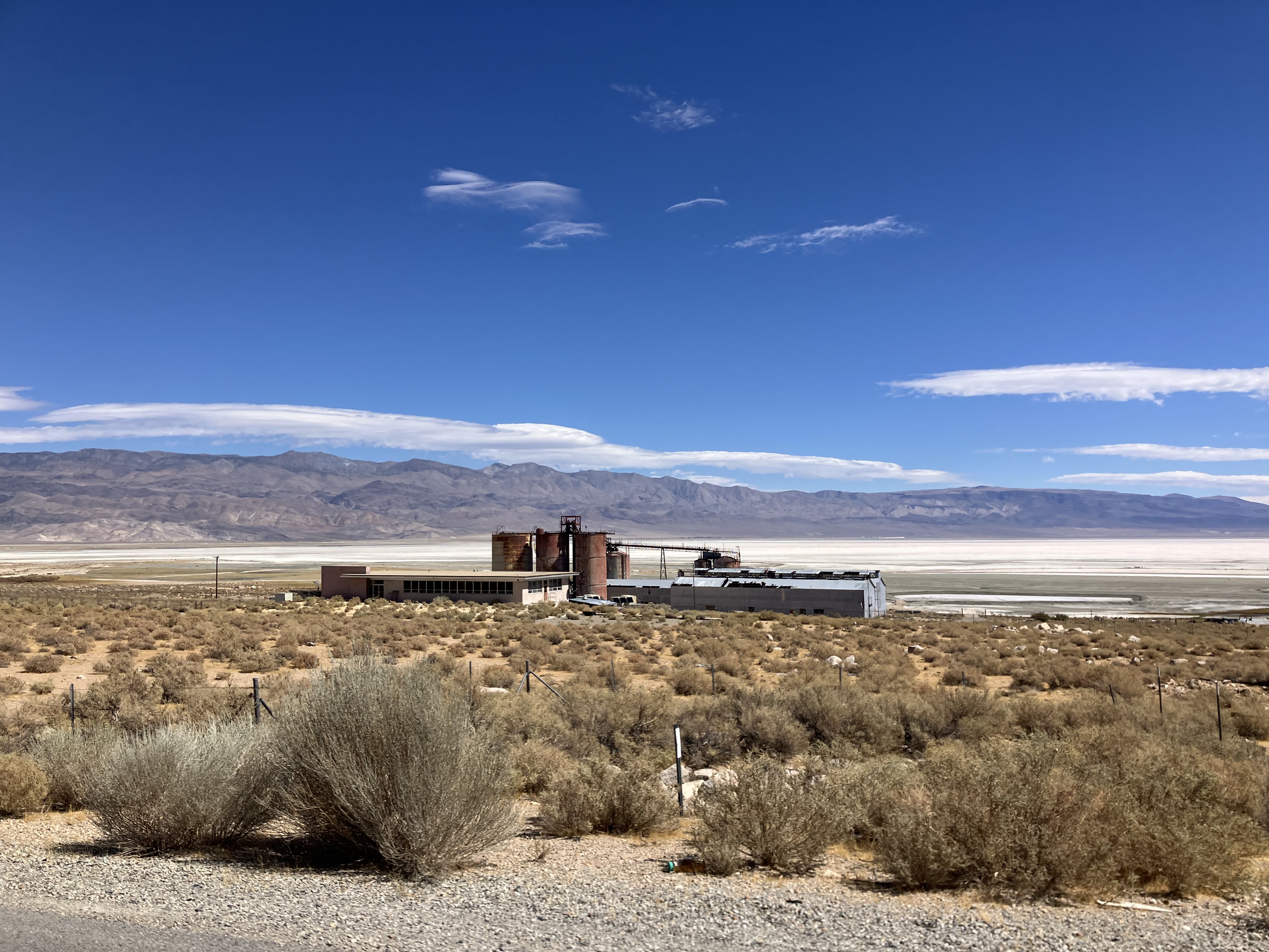
The little dirt lot was for Ivanpah Dry Lake.
Interesting, really


Beyond us, off of the dirt road we could see a converted school bus. In the evening a young red headed girl left the semi-truck area and began walking towards the school bus. She was dressed like most kids, kind of showing off her body. I started fabricating a story that she was a truck stop prostitute. After a few minutes Amelia shut me down.
 

Our Airstream, the Ivanpah Dry Lake Kiosk, and the black circle is where the coverted school bus was.

Ivanpah Dry lake

Adios Primm


Hanksville, Utah: April 26-28, 2026

Open range, Utah Scenic Byway 95


Unless you really know Utah, you probably don’t know Hanksville.

The night before we left Grand Junction we were still indecisive about what route to take home. Then we found out Amelia’s friend Jen’s Uncle Randy was in Hanksville. So why not spend two nights in Hanksville! We drove through the little town last year. The landscape was interesting to say the least. And Instagram’s algorithm has been feeding us a stream of Hanksville posts.

It was less than a three hour drive on the I-70, then west of Green River take Utah 24 southwest, past Goblin Valley (a favorite of ours) to Hanksville.

Right when we arrived at Duke’s RV park a huge dust storm and intermittent rain came down. The office was closed so we just went ahead and took the space next to Uncle Randy and checked in later. It was too shitty outside to unhitch and set up. The three of us walked over to Duke’s Slickrock Grill and had lunch. And that was it. It was so bad we all stayed holed up in our trailers the rest of the day.

The next morning it was absolutely gorgeous. What a difference a day makes. Randy was pulling out and heading towards Capitol Reef. We said our goodbyes then took in the sights.

Us with Uncle Randy


Our first sight was Leprechan Canyon. From Hanksville it was a thirty minutes south on Utah Scenic Byway 95.

The path to Leprechan Canyon

Palmer’s penstemon

About a mile in you could tell this was going to be something special.

And special it was, instead of a sand floor we were walking on rock.

The glow

This was a little spooky for me.

Maybe more than a little spooky.


The end of the road. To go further you need climbing gear and skills, no thank you!

Perspective shot

Broadleaf milkweed

The Scenic Byway was so nice we just kept on driving south another half an hour to the Colorado River.

Truly amazing scenery


After a late lunch at the Airstream we drove west on the 24 towards Factory Butte and the Bentonite Hills.

Factory Butte

The wind really picked up again.

Bentonite Hills


Strange land

Amelia looking like a speck.


Hanksville is a little off the beaten path, but definitely worth checking out!


GJ/CO: April 22-26, 2026

A male Eastern collared lizard, we saw this beauty on a hike in the Little Book Cliffs Wilderness Study Area.


After Moab we made the short drive to Grand Junction to spend more time with the twins and Mike. It was their last week in GJ before heading back to Oak Bluffs, Massachusetts for the summer. It’s always an absolute delight to spend time with them. It’s been fifteen years, almost to the date since we’ve visited Grand Junction. We hit all the famous trails; 18 Road, Kokopelli, and The Ribbon/Lunch Loops and got in two hikes.

We parked Opal at Mike and Kathy’s rental and slept in the house.

18 Road, if I’m not mistaken this is the Prime Cut climb.

Mike and Chris on 18 Road. The wind gusts were easily 40 mph. We experienced a lot of wind this trip.

Hot Tomato Cafe, it was a little bigger and has had a change of ownership since the last time we were here, but I thought the pizza was still outstanding.

Mike doing a little launch at Kokopelli.

The Colorado River, it still amazes me that sixty percent of San Diego’s drinking water comes from this river.

Doubling up! The same day we rode Kokopelli, we did a short hike in the Colorado National Monument to The Devil’s Kitchen.

Mike’s throne

I absolutely love this picture of Kathy, myself, Amelia, and Mike. Chris gets the credit.

The Ribbon is a shuttle ride. We left Mike’s car at the bottom and put five bikes in our truck and drove to the start. While driving up the road it comes in sight. The red circle is The Ribbon.

Fifteen years ago there was no sign.

The start of The Ribbon. As you descend, the view of Grand Junction and the Book Cliffs is spectacular.

Chris and Amelia playing on the rock. I’ve been thinking about this ride since we did it fifteen years ago. It did not disappoint.

A nice perspective shot of the enormity of the slab. Pictured are Chris, Kathy, and Mike.

Warning! This video contains profane language.

Pretty stoked to be here again.

Chris not hesitating on a technical section.

Crazy landscape

Mike and the twins.

Sego lily, I know I just recently put this flower in a post but here it is again since it’s so beautiful.


On Saturday, our last full day with them, Chris flew home to Connecticut in the morning.  The four of us decided after all the riding we’ve done we would take a day off the bikes and go for a hike. A short drive took us to the Little Book Cliffs Wilderness Study Area. Folks do this hike to see the wild horses that roam the area. It’s never a guarantee you’ll see them, but we lucked out and did!

Wild Horses

So cool

Wild Horse video

We are already looking forward to the next time we see Mike and Kathy.


White Rim Trail Day Three: April 20, 2026

Breakfast at Candlestick camp

Let me tell you about a thrill, and not the good kind.  On the second night, all bundled up in a mummy sleeping bag and in a small tent, I got a massive cramp in my right hamstring. It was wild. When it happens at home I jump out of bed and try to walk it off. There’s was no jumping out of that damn mummy bag. I was thrashing around in crazy pain. It was quite a sight according to Amelia. I’m surprised I didn’t wake up the entire camp.

I can only speak for myself, but the last day had a sense of sadness to me. This wonderful experience was coming to an end. I was riding slower to savor it and take it all in. It was nothing short of a miracle that this group was able to all get together for three days and two nights. All but two of us are retired, but even in retirement people are busy. There was talk about what we’d all do next. The idea of doing The Maze District in Canyonlands came up, but the guides told us there’s a limit of seven people per trip. We’ll see what the next adventure is, but it’s going to be pretty hard to top this one and this wonderful group of people.


Day Three Stats

  • 24.19 miles
  • 1,869 ft elevation gain
  • A tough climb out

And away we go! The first stop, Holeman Slot, was only a couple miles away.

Entrance to Holeman Slot

A lot of happy people on this trip!

This is as far as I went…

Chris and Amelia manuerving the slot.

The lighting is always so cool in slots.

Ken and Amelia with Chris crawling out.

And we’re off again!

Claret cup cactus

Bill is one strong dude.

This is probably our first close up of the Green River.

A happy Kathy. The next few miles we were riding along side the Green River.

On the last day the group was together more often than the previous days.

A happy Bill Golightly.

Then came Hardscrabble, the first of two difficult climbs. Amelia killed it.

After lunch we rode to a little side hike to see an Ancestral Puebloan granery. They used these small stone structures to store corn, beans, squash, and seeds in alcoves. It’s most likely over a thousand years old.

Lunch break at the Labyrinth Camp.

Mr. & Mrs.

Mineral Bottom Road was the climb to the finish. It was a bitch. That’s Amelia and the Rim Tour truck following her.


The following day we took a day off of the bikes. Tony drove Dianni, Amelia, and me to the overlooks in Canyonlands National Park. We had our binoculars. It was amazing to look down on what we just did. We were able to basically see the entire trail and all the stops we made.


It’s easy to see why it’s called the White Rim. The girls taking one last look at what we accomplished. What a great perspective.